Outer Hebrides

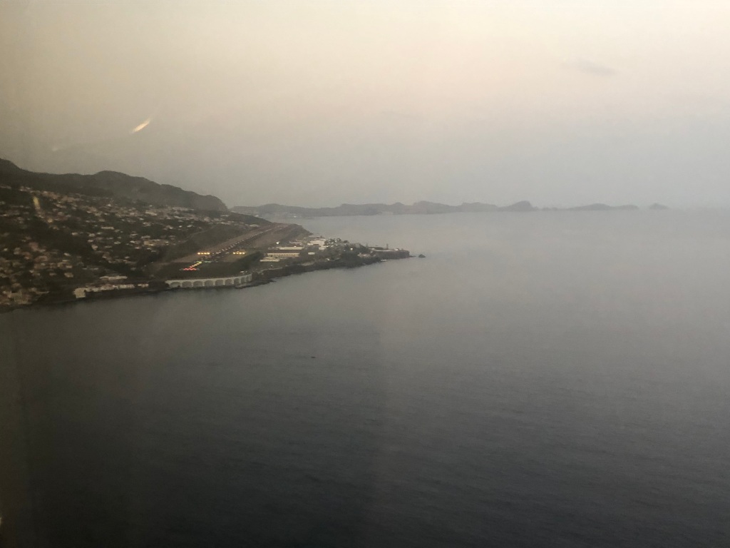
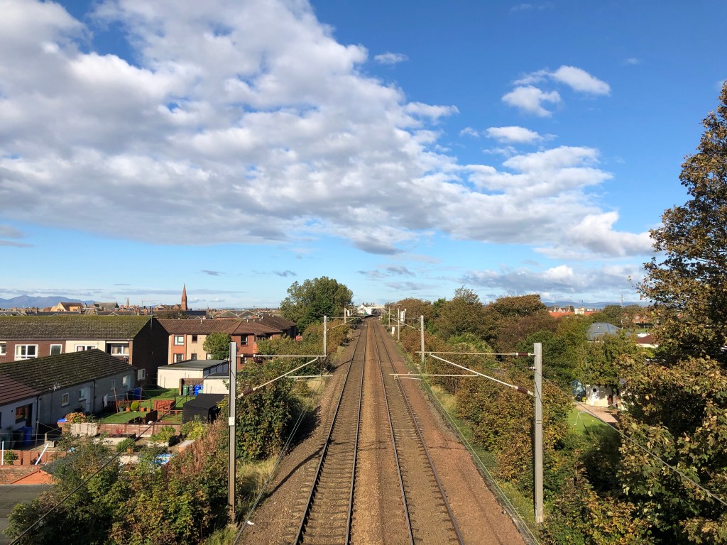
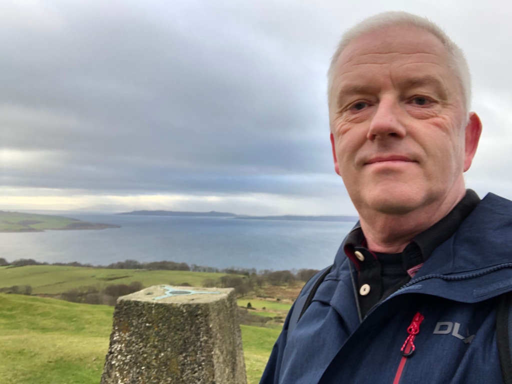
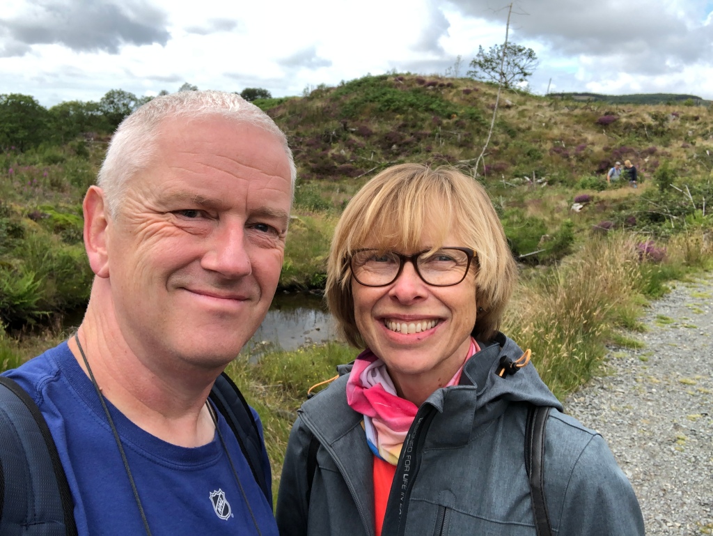
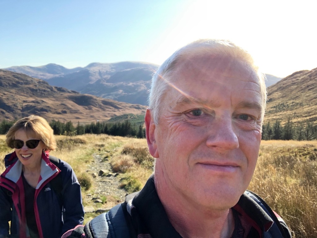
Despite this site being primarily a travel blog, I never really expected to be writing anything about this particular location. It is a place we have been meaning to go to for quite a while but something alway put us off. Maybe that location was the issue. Situated off the northwest coast of Scotland, the Isles of Lewis and Harris form part of the Outer Hebrides, a collection of islands in the Atlantic Ocean. With the exception of the main town, they are sparsely populated and that town, Stornoway, itself is hardly a large metropolis, though it does boast the island’s only Tesco. The island’s attractions are spread thinly across a land largely devoid of trees but perhaps the thing that has put us off the most was the weather we were likely to encounter. The UK as a whole tends to get battered by frontal systems moving in off the Atlantic but a high pressure system over the country can deflect them to the north. These banks of cloud may well miss the bulk of the UK but the far northwest is rarely spared. Of course that doesn’t mean permanent rain but the probability is that a holiday without cloud and wind is unlikely to happen and the mercury will seldom top 20C. Or so we thought. Elaine has lived in Scotland for more than 39 years now and it’s even longer for me. Earlier this year we decided to bite the bullet and book a place on Lewis. So what if it would rain a lot, we’ve got waterproof coats and stuff and it’s only water anyway. Little did we know that yes, we’d get wet but that moisture would come from within rather than from the sky.

The only cloud we saw on Saturday.

We chose our accommodation for the week. We went for a cottage, not through Airbnb this time but Cottages.com. The cottage was called The Summer House and looked pretty good in the pictures on the website. They always do, don’t they? This one, however, had won awards and was, as they used to say in the beer adverts, reassuringly expensive. Interestingly, expense was one of the things that has put us off in the past as there isn’t much in the way of cheap accommodation up there, especially in the summer months. Thus, being a tight Yorkshireman I had to grit my teeth when I made the reservation. It was a lovely place. The Summer House is based in the village of Achmore, assuming a widely dispersed handful of houses can be called a village. It was handily placed in the middle of Lewis and just 20 minutes from Stornoway. A word about the island. Despite there being an Isle of Lewis and an Isle of Harris they are, in fact, just one island. Harris is the southern third, Lewis the northern two thirds. Harris is quite hilly whilst Lewis is more moorland and the bulk of the population live there. Why it requires the two names I do not know. The island is quite big so a car is essential. To get yours there you have two main options. Ferry operator Caledonian MacBrayne provide services from Uig on the Isle of Skye to Tarbert on Harris, and Ullapool on the mainland to Stornoway on Lewis. You can also get ferries from the island of North Uisit if you want to combine all of the Outer Hebrides in one trip. The ferries get busy in the summer and the advice is to book early. The summer schedules go on sale in January and I was in there at the when they did. We decided to take the Uig-Tarbert service to get to the island and Stornoway-Ullapool to get off it. The former takes an hour and a half, the latter an hour longer. For two passengers and a normal car the price was £56.90 and £91.35 respectively. We decided to break our journeys in both directions with a hotels in Invergarry, about half way to Uig on the way up and Ullapool on the way back. Although this added time and expense we are glad we did it as the journeys, whilst very scenic (especially to Uig), are rather tiresome.

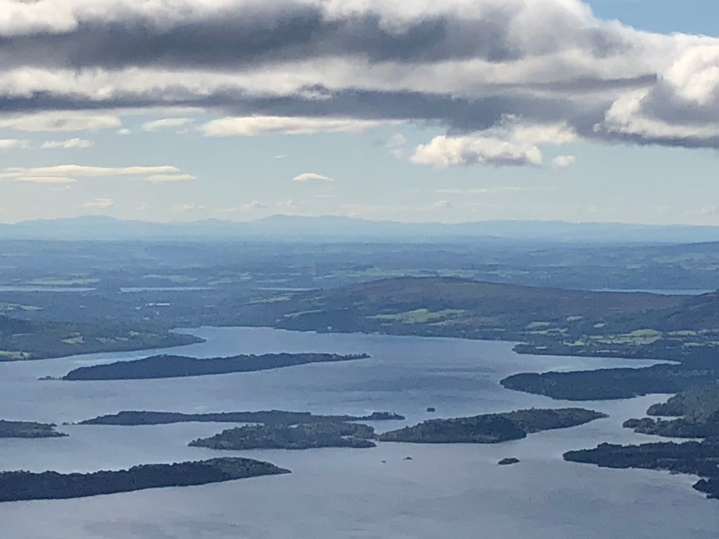
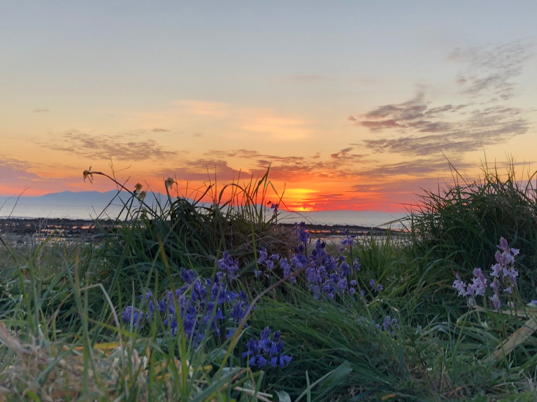
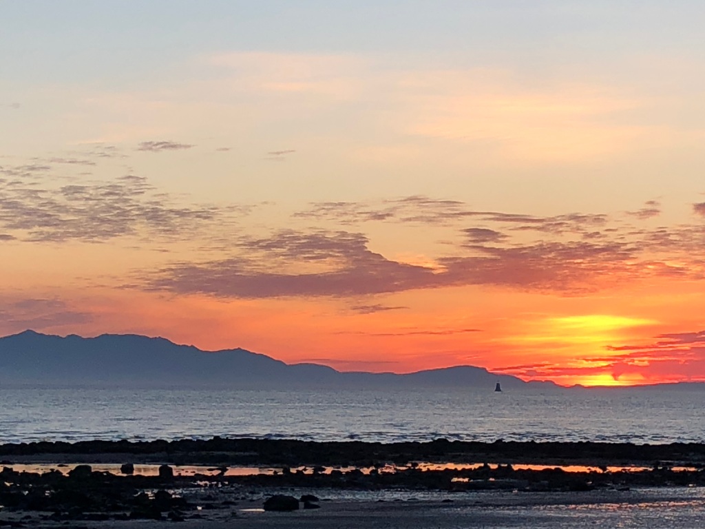
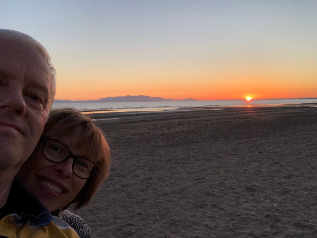
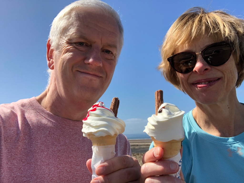
Information technology is a wonderful thing but you can get obsessed with things. In the run up to this holiday we had been checking the weather forecast frequently. We knew that forecasts are hopelessly inaccurate any more than a few days in advance but we did it anyway. It was, at first, a rather dismal picture but the closer we got to departure we were feeling optimistic that we might get some sunny spells. There were reports of a heatwave hitting Britain on the weekend we were going but, as previously mentioned, it was unlikely to bother the Outer Hebrides. Maybe, just maybe it would keep those Atlantic fronts at bay? Our Friday crossing from Uig to Tarbert was in unbroken sunshine and the temperature was such that we could sit on the deck. Promising. As it turned out we were visiting the island on the hottest weekend anyone could remember. Temperatures would reach 29C that weekend before it cooled down to a more manageable 21C. We had lovely weather most of the week, maybe one evening and one morning of light rain and a bit of low cloud later on in the week. Otherwise the sun shone brightly during the day and well on into the evening too. I thought I’d done well weatherwise with my Saga cruise in May, this was just as good and even less expected. So what dose Harris and Lewis have to offer the enquiring traveller? I’ll split it up into three categories: Beaches, walks and ‘visitor attractions’.

Beaches

The Hebrides do do a mean beach.

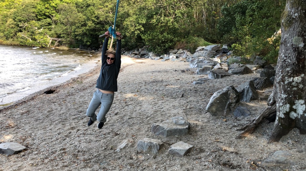
It may seem strange to count beaches on an island situated on the 58th parallel as a major selling point. However, if sitting on a beach is your thing there are plenty to choose from and you may have it all to yourself. We are not great beach dwellers but we certainly appreciated the golden, sandy beaches that abound on Lewis and Harris. Perhaps the most famous beach is Luskentyre on Harris and having already gone for a walk along it, we decided to plonk ourselves down on it to have our lunch. Whilst other folk were embracing the beach life, we lasted about twenty minutes though we did at least dip our feet in the water. Luskentyre is a stunning place and when the temperature is in the high 20s celsius it easily beats any Mediterranean or Caribbean beach. By Hebridean standards the beach was a busy though the few dozen folk there were spread out thinly.

Some other beaches we encountered, not that we lingered there, were either deserted or had two or three other people on them. There are plenty to choose from. We particularly liked Garry Beach to the north of Stornoway which we only discovered the morning we were leaving the island. It had sea stacks you could wander through at low tide, a bit like a mini Hopewell Rocks at the Bay of Fundy.

Another great beach was at Uig Bay. Not the previously mentioned Uig on Skye, but out on a limb on the west coast of Lewis. The Gaels do tend to reuse place names a fair bit. Ardroil Beach is situated in Uig Bay and is where the Norse chess pieces that now reside in the British Museum were found and whilst it is unlikely you will find any others, you can always get a tourist photo next to a carving of a King that stands there as a reminder. It’s a bit of a drive to get there but worth the effort.

There were plenty of other great beaches we saw in passing and plenty left to discover the next time we are there. They are easy to find – they are right next to the sea.

Walks

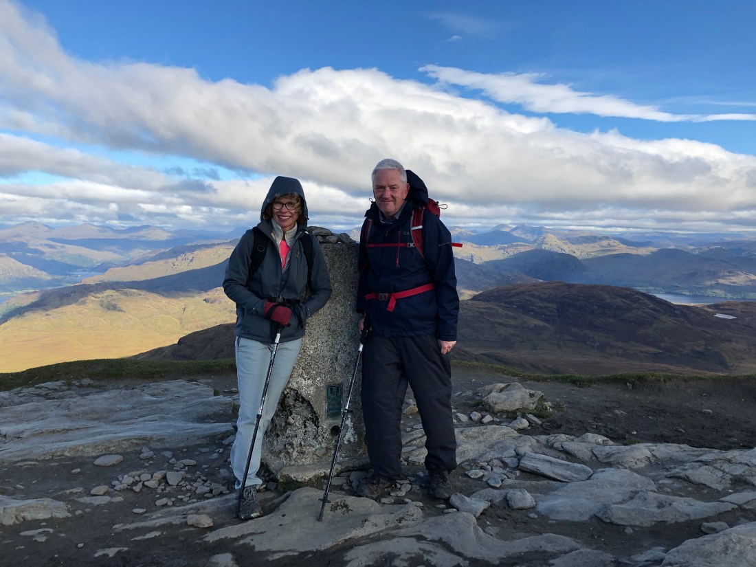
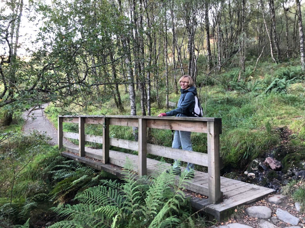
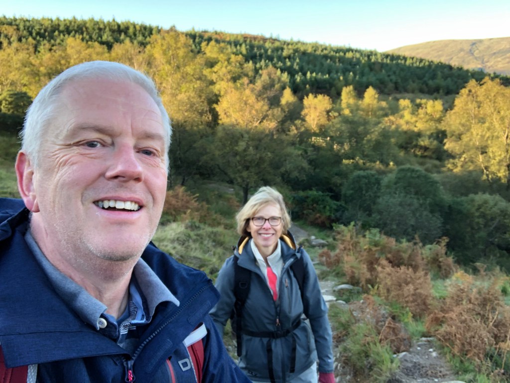
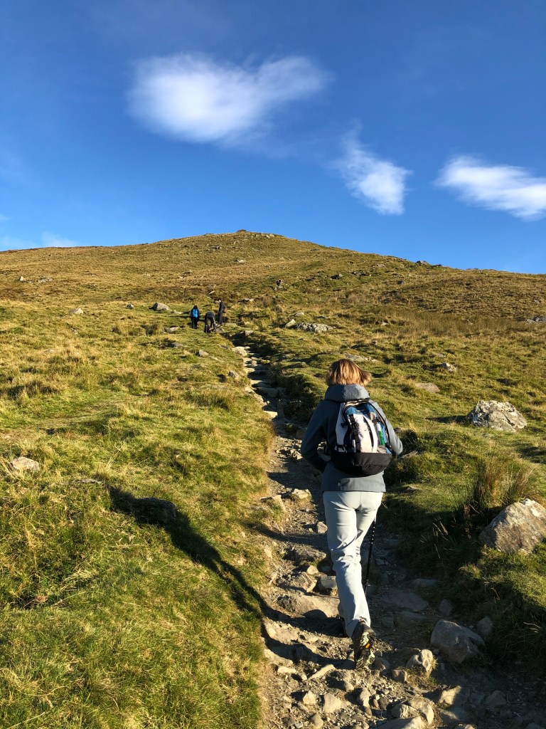
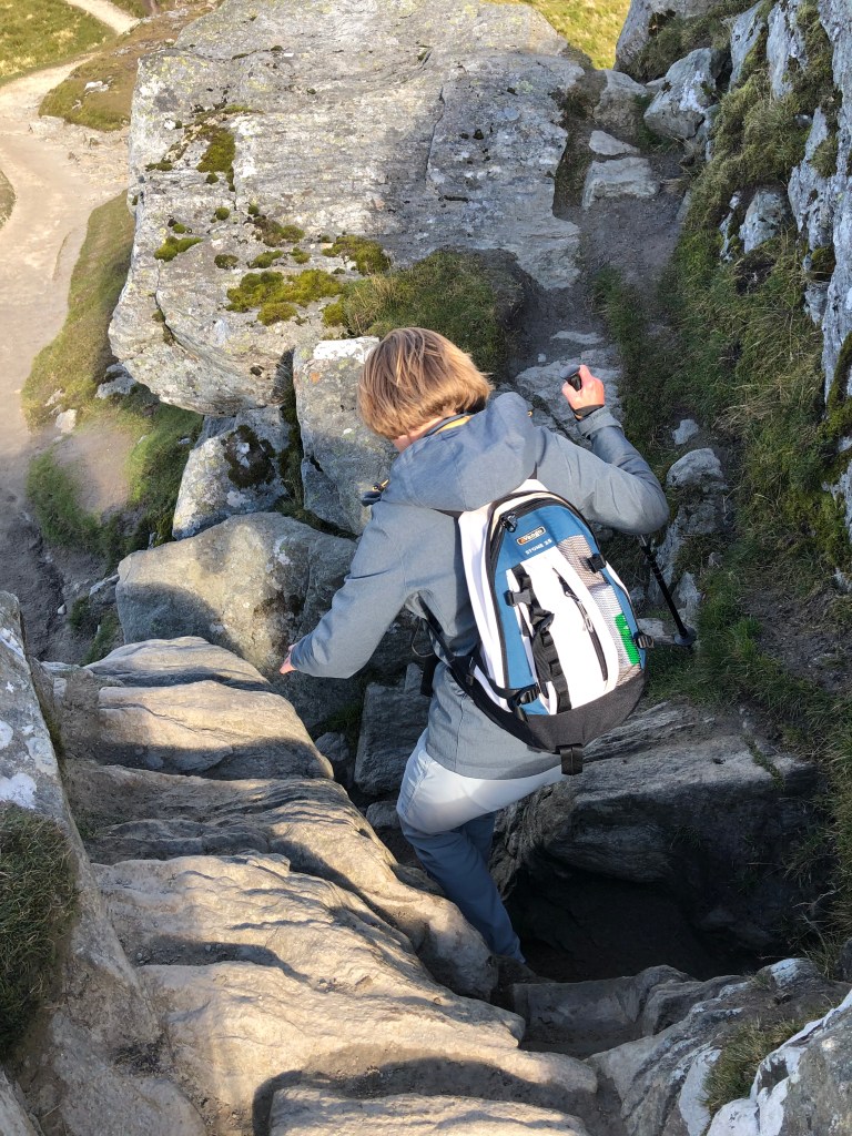
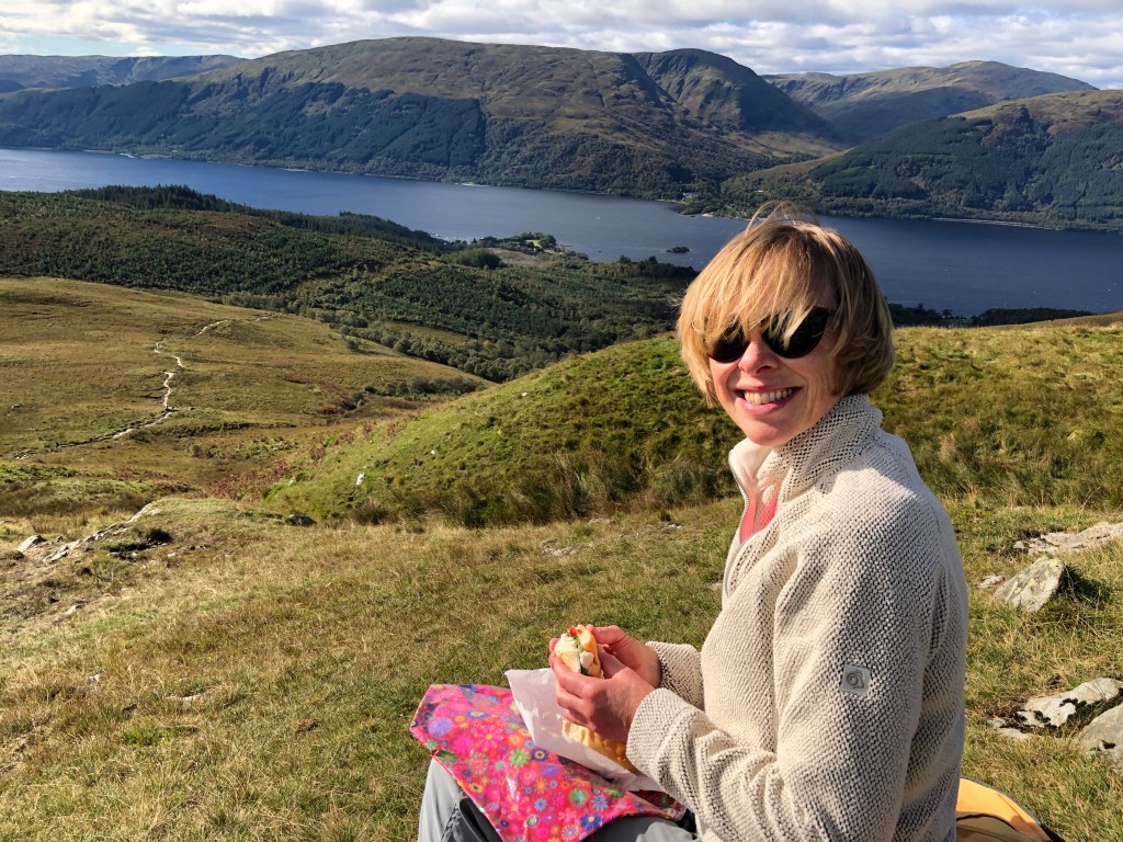
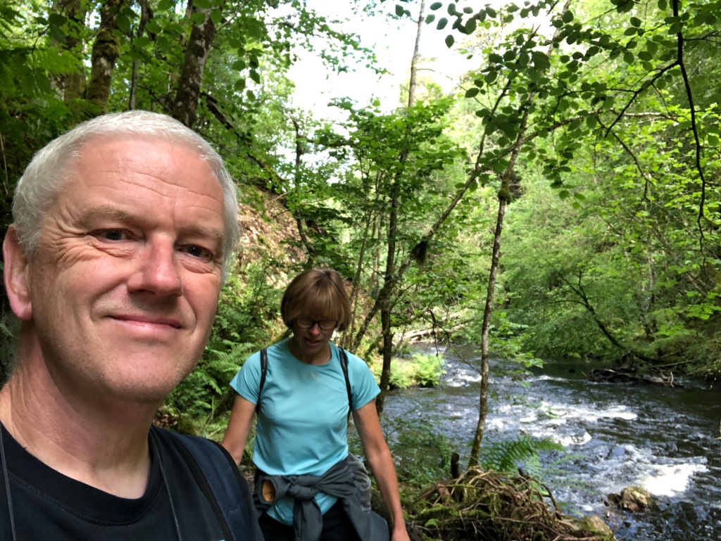
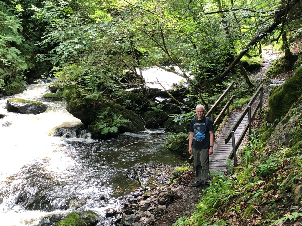
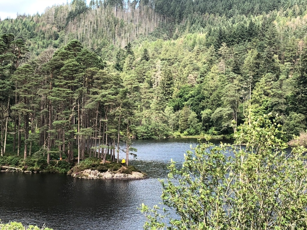
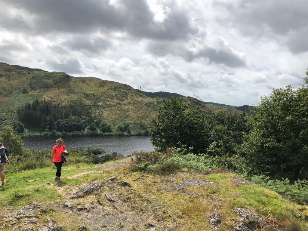
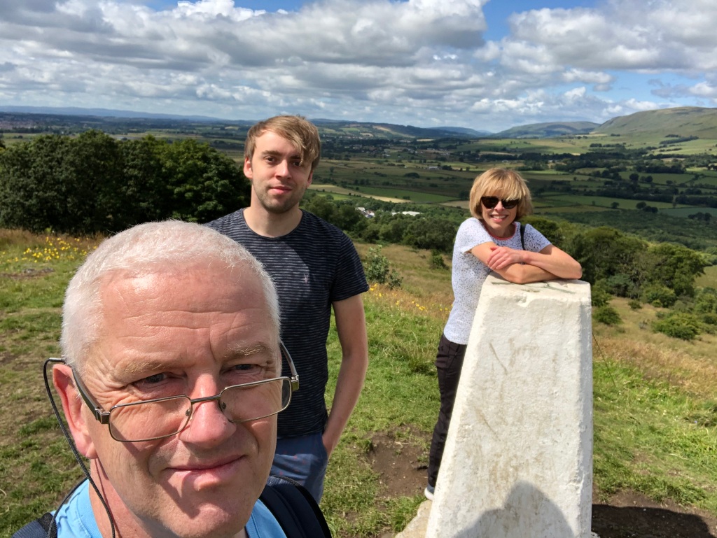
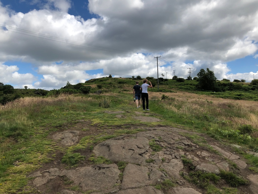
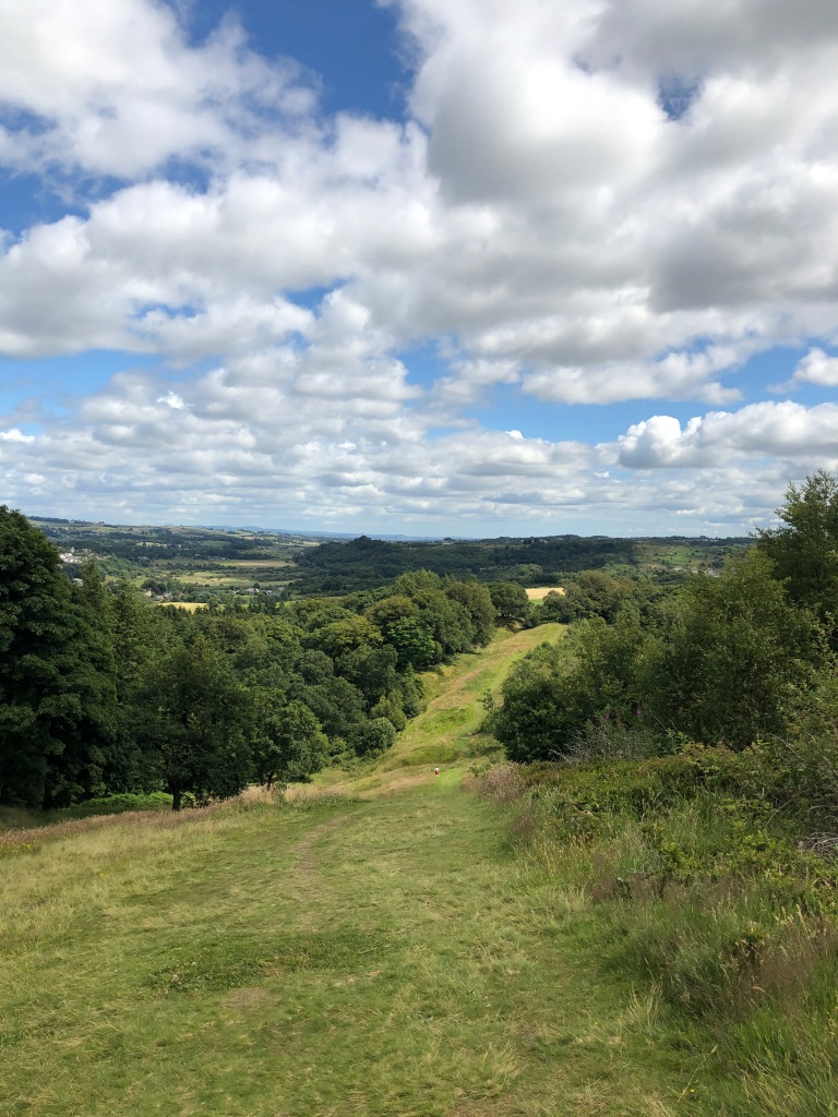
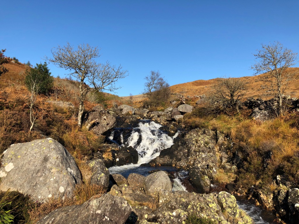
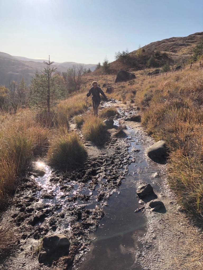
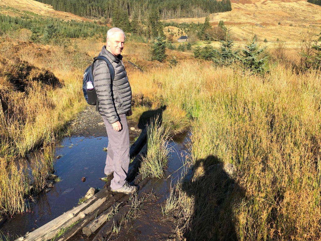
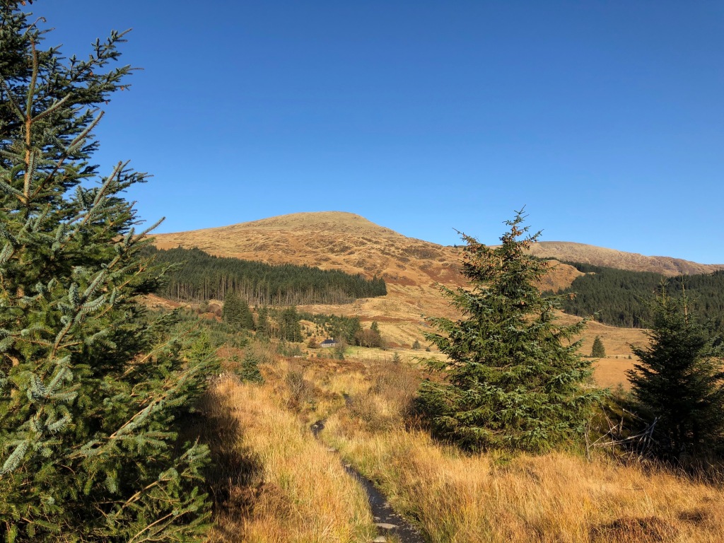
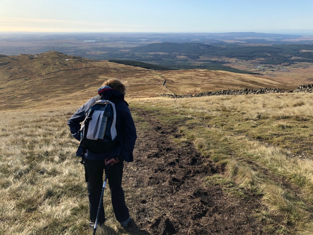
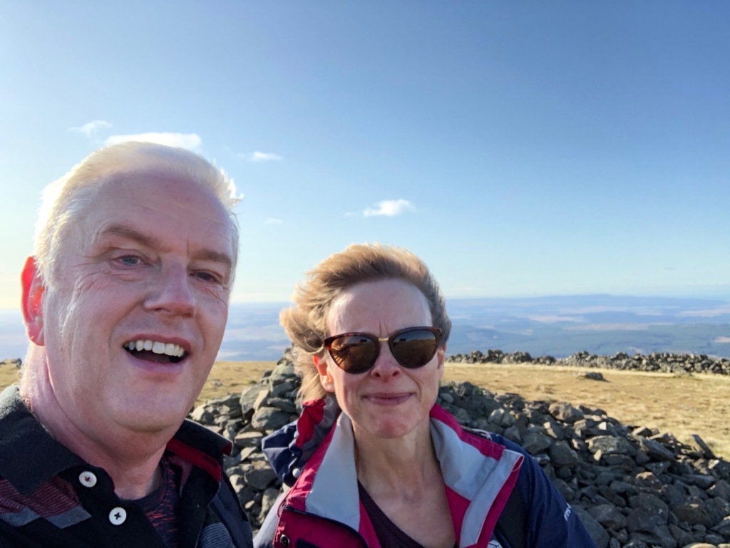
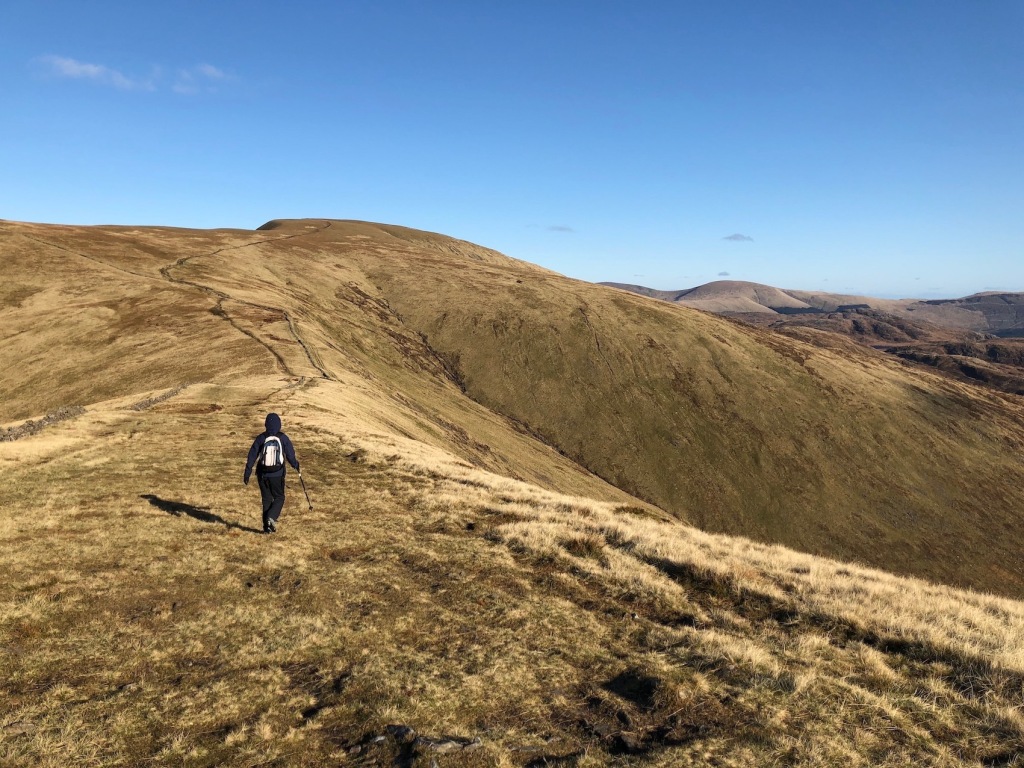
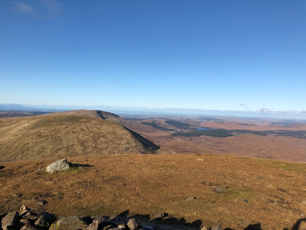
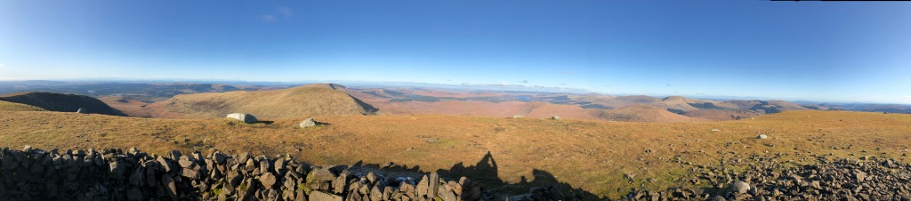
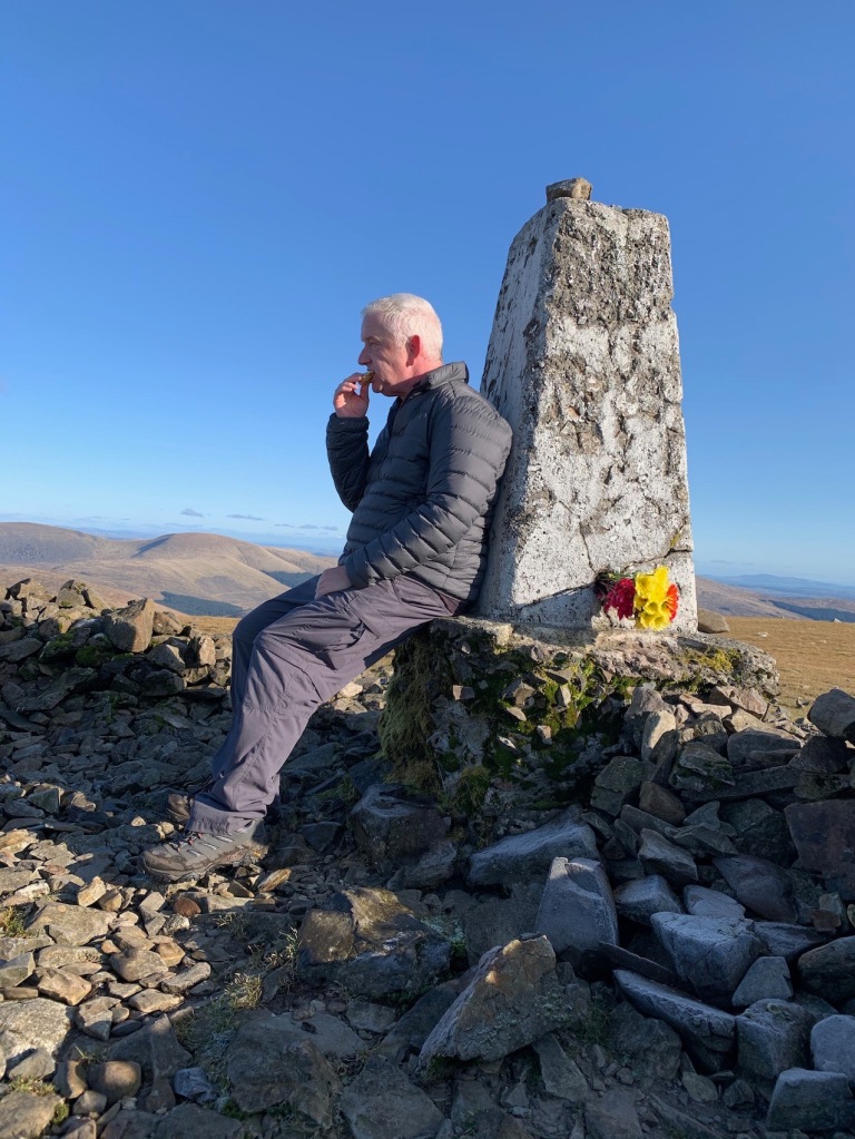
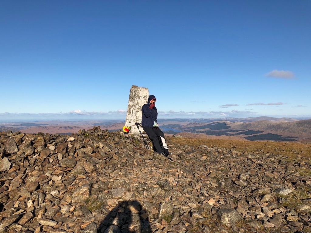
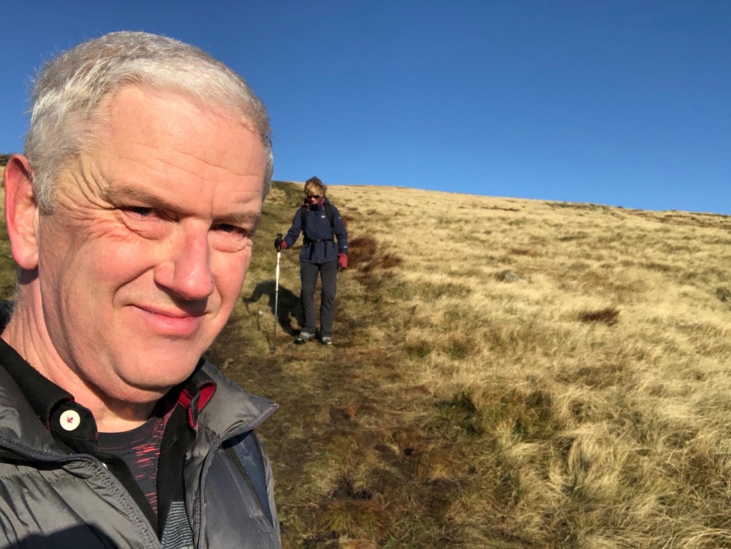
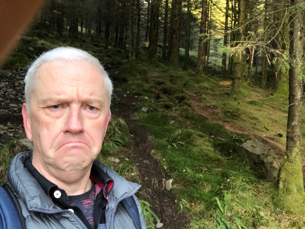
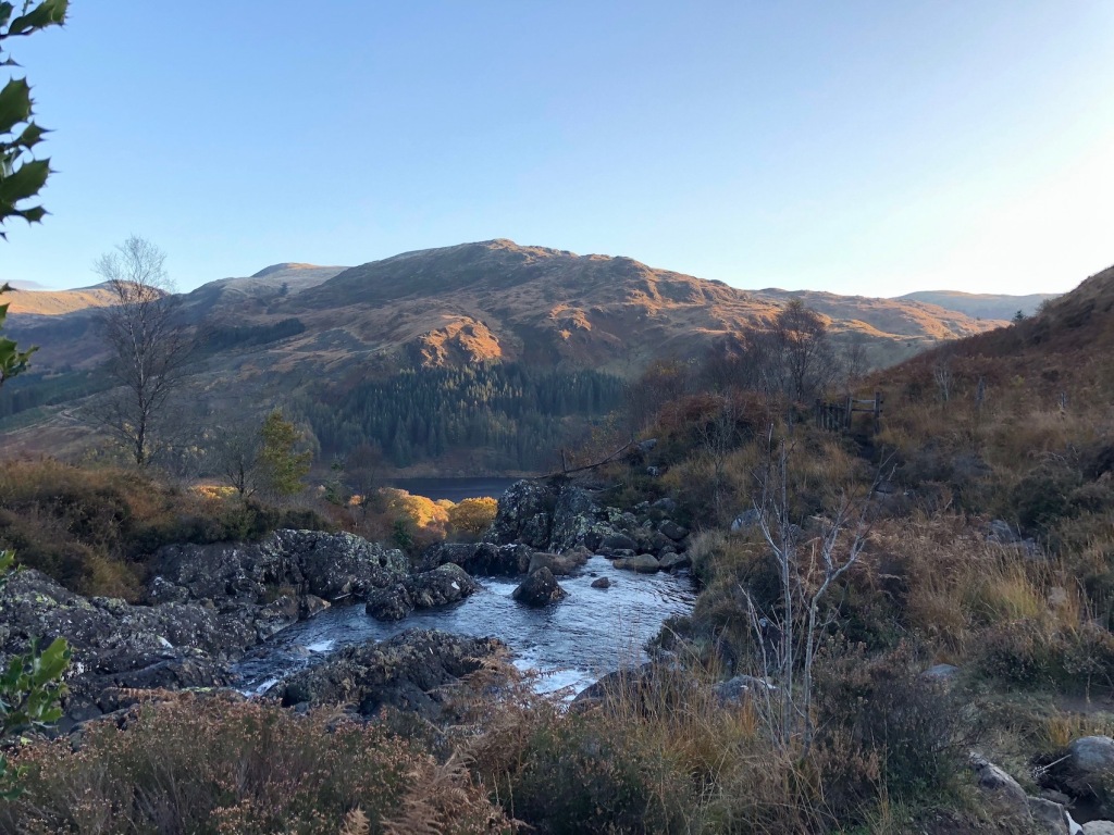
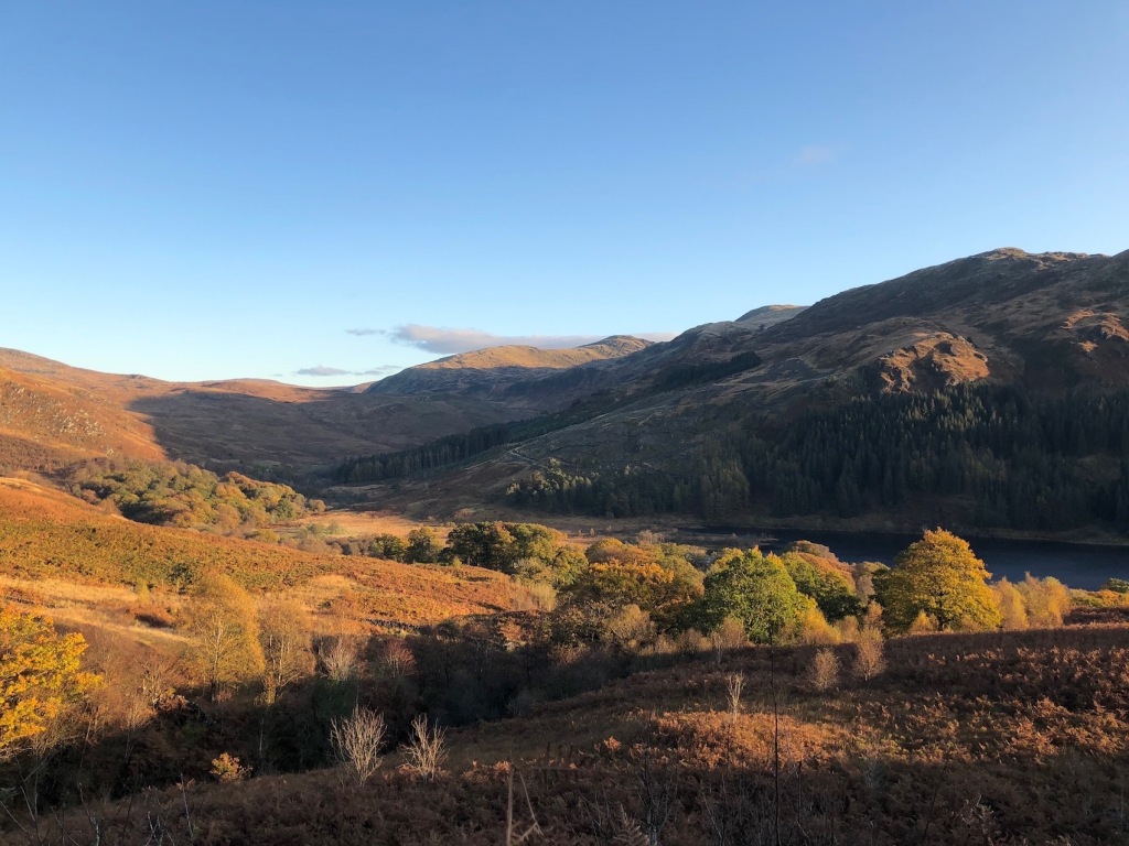
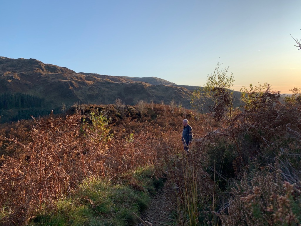
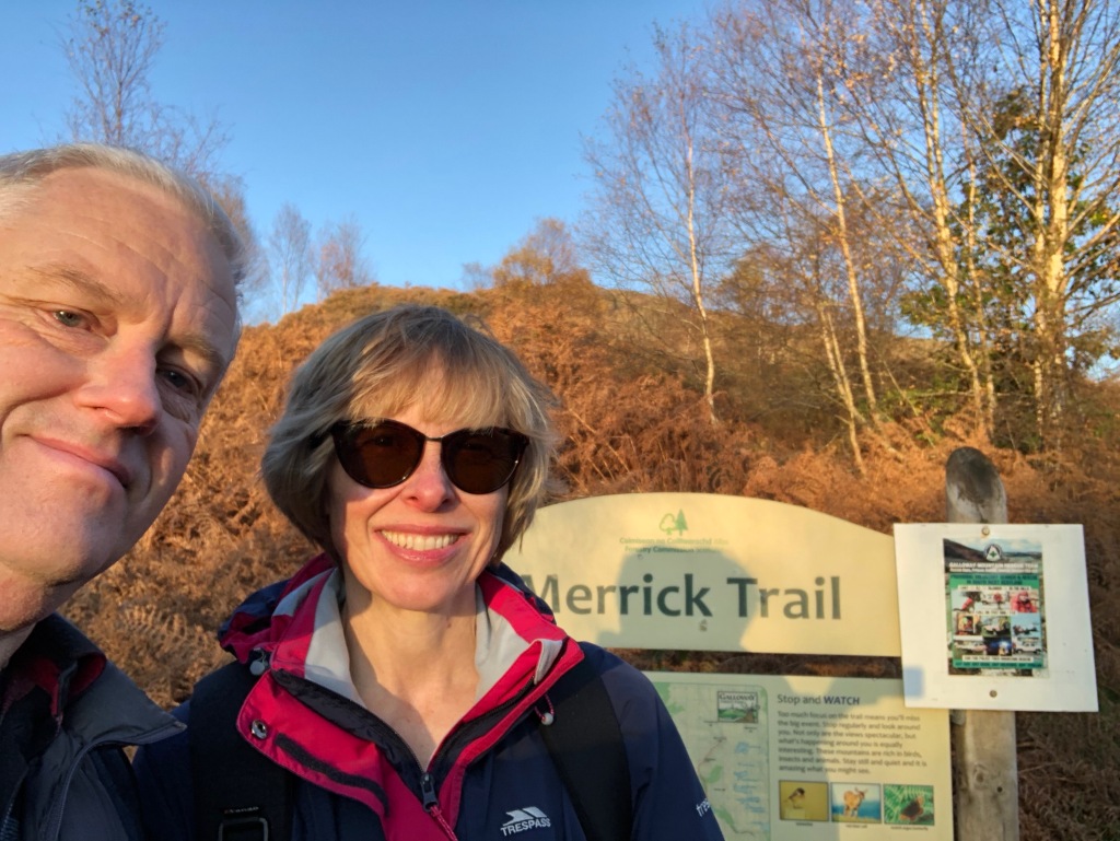
Going for a walk is a major draw of the islands. The above mentioned beaches are good for walking of course. We had a nice walk at Uig Sands. It wasn’t overly long or particularly taxing but it was worth that long drive to get there as the views were stunning. The Luskentyre beach walk was another easy amble along the sand and back along the road with the benefit of Toby and a couple of Morags enjoying the warm weather. The first walk we did was a coastal walk near the village of Carloway which took in Gearrannan Blackhouse Village. Unlike Uig Sands, this was fairly taxing. We did it the first full day we were there when the temperatures were high though there was a stiff breeze coming in off the sea which prevented us from overheating. Much of the walk was close to the cliffs, not dangerously so, but close enough to enjoy the dramatic scenery. There was no distinct footpath to follow either so planning the next few hundred yards of travel became very imnportant. It was not so much ‘off piste’ as ‘no bloody piste in the first place’. We passed no one on the way and whilst it may well have stretched our definition of a ‘pleasant’ walk, there was definitely a sense of achievement when we reached the top of a hill and the Blackhouse Village came into view. Not that we had finished. I discovered our chosen direct route down the hill was a bit of a mistake when I took a tumble on uneven ground which was hidden in the long grass and ended up on the deck in a less than elegant manner.

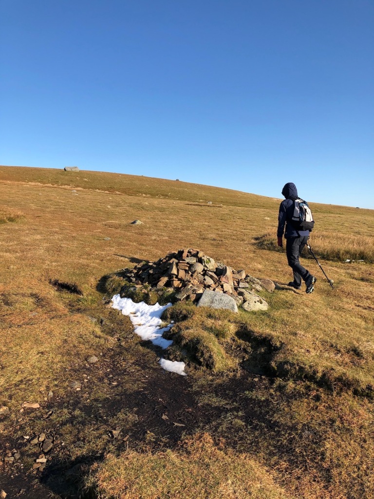
A similar cliff walk at the Butt of Lewis was a little easier. The terrain was less of a challenge and whilst there was no defined path again, the ground was ‘machair’, a fertile soil covered in short grass and meadow flowers. The highlight was the Butt of Lewis lighthouse, a splendid red brick structure, situated at the northern tip of the island. It seems a bit counterintuitive that the Butt is at the top of the island rather than the bottom.

58°30’57” N. I was the most northely person on Lewis at the time.

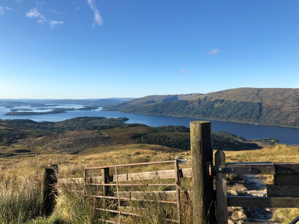
Speaking of lighthouses, we visited another one on the Isle of Scalpay. Scalpay is an island near Tarbert in Harris and is accessed via a bridge. Despite the link with the rest of the island, it retains its own personal character and gives the impression of what island life may well have been like thirty years ago. There are a number of walks you can do, all of which take in Eilean Glas lighthouse on the southern tip of the island. We chose the short one to get there a longer one back along the coast. More on the lighthouse later.

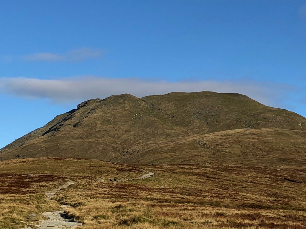
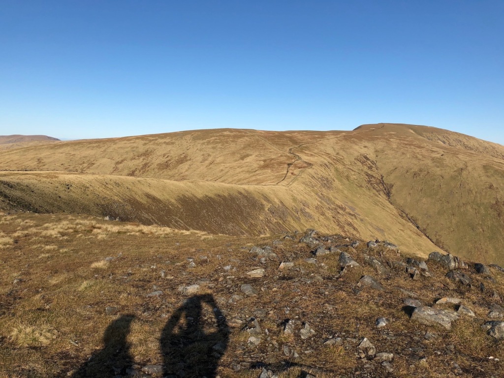
The Eilean Glas lighthouse walk was in fact a last minute decision. We had intended to complete a walk from Urgha to Rhenigdale and back, a seven mile round trip to a tiny settlement that was the last such settlement on Harris to be accessible by road. The track over a hill was known as the Postman’s Trail as that was how the mail was delivered before the road arrived. We set off with the top of the hill shrouded in cloud but when we came to the other side, we were put off by the near vertical precipice we would have had to negotiate via a precarious zig-zag path. Not only down but up again on the way back. The mist was clearing so we did at least get the benefit of the views and once back at the car we had the time to visit Scalpay and any disappointment we felt at not completing the walk was soon forgotten.

These are just a handful of the many walks that are possible on both Harris and Lewis and it is safe to say that we would need several more weeks to discover them all.

Visitor Attractions

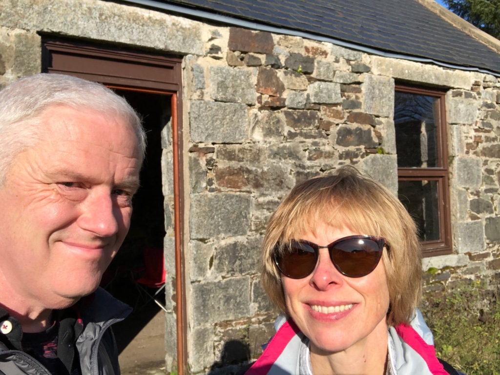
The words ‘visitor attractions’ may strike fear into the hearts of those who want to choose a destination to get away from it all but don’t worry. There’s no theme parks, amusement arcades, water parks or anything noisy at all with the exception of the waves crashing into the cliffs. There are, however, a few attractions for the visiting tourist that are worth a visit. I’ve already mentioned the Gearrannan Blackhouse Village. This collection of traditional houses was restored after the last residents left in the 70s. Some are let as holiday homes but three are preserved as a museum and cafe. It’s definitely worth a visit either the easy way by car or the more difficult way that we did it, on foot.

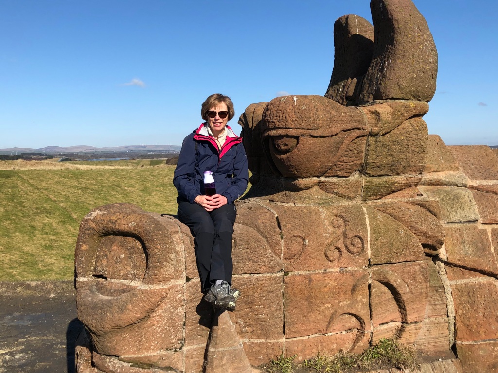
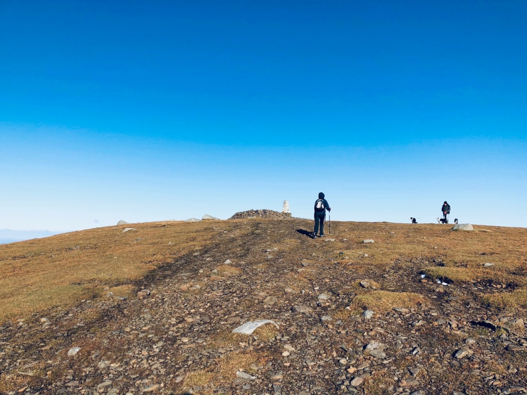
The Callanish Standing Stones is another popular attraction. There’s a lot of neolithic standing stones in Scotland and several examples at Callanish alone. The main one sits atop a small hill and consists of a small stone circle at the apex of a much larger cruciform arrangement. As is the case with most of these standing stones, we don’t really know precisely why they were built, maybe there isn’t a precise reason to be discovered. The neolithic people may have just liked them.

A drive out to Bernera Island takes you the Iron Age House of Bosta. This turf covered building is a replica but stands where archeologists discovered the remains of a small village that dated back 1400 years. It is open for viewing from midday as long as the guide does not go off sick, as was the case when we went there. It’s interesting enough to see from the outside though and there are a few walks on Bernera Island you can do if you don’t mind traversing a bit of boggy ground. The main settlement on Bernera Island is Breacleit and like a number of other villages we passed through it has a museum/shop/cafe/petrol pump. Whilst describing these as visitor attractions is pushing it a bit, these are always handy places to stop and the small museums are worth the two or three quid donation to look around.

As mentioned in the Walks paragraph, Eilean Glas is a lighthouse on the island of Scalpay. Whilst getting there requires a walk, the destination counts as a visitor attraction in its own right, not only because it is commands a very attractive setting but you can also get cake and a cup of tea there. We had a very nice chat with the elderly couple who own the land and most of the buildings there – the current lighthouse is still operational and owned by the Northern Lighthouse Board – and whilst the place is by no means in a pristine condition, it appeared they were doing their best to keep the place going for the benefit of passing walkers. It wasn’t until we got home that we discovered that the couple had a very ‘interesting’ back story that they had somehow failed to mention to us when they were describing how they came to own a lighthouse. This involved them both serving time at Her Majesty’s Pleasure for being a little less than honest with someone else’s money. That was over twenty years ago though, I’m sure they are reformed characters now and are genuinely trying to run the place legally. The cake was nice at any rate.

Peggy’s Cove eat your heart out.

Stornoway’s major visitor attraction is Lews Castle which is part hotel and part museum. It has grounds through which you are normally free to wander. We missed our chance, however, as the week we were there was the run up to a large (in Hebridean terms) music festival called HebCelt. This did mean that we could go to the festival on the opening session which was on Thursday evening, the day before we left. We got to see Eddi Reader and Tide Lines doing their stuff though missed out on the legend that is Lulu who was the headline act on the Friday. I’m not a lover of music festivals and wouldn’t go to Glastonbury if you paid me a lot of money but HebCelt is much less crowded and being the first session following a dry spell it never got too muddy. If festivals are your thing, plan your break to Lewis accordingly.

If visiting a mighty cathedral is your thing then you may want to consider somewhere else for your holidays but we did discover one interesting place of worship up near the Butt of Lewis. St Moluag’s Church, or Teampall Mholuaidh if you prefer your churches in Gaelic, dates back to the 12th or 13th century and sits on or near a 6th century site believed to be the first consecrated ground in the Hebrides. Having originally told people it was in the care of the Church of Scotland, I’ve since discovered it is Episcopalian (Anglican) and having confidently said that the small altar wasn’t an altar, I’m happy to altar that statement (sorry for the pun).

The Whalebone Arch is worth a photo. The story behind it is pretty grim though. Back in the 20s a blue whale washed up on a nearby beach with a harpoon embedded in its body. It had obviously escaped capture by a whaling ship but slowly expired from the harpoon wound before being washed ashore. The islanders waited for a whaling company to come and collect it but no one did so they extracted what useful products they could get out of it. A local chap decided that he’d make a memorial to the sad creature by mounting two jawbones to form an arch. In what today might seem a bit tasteless, he included the harpoon that had killed it too. The arch is in someone’s garden but they don’t mind you going in to take a photo.

Whalebone Arch complete with grizzly form of whale execution.

The Bridge to Nowhere is near the Garry Beach mentioned above. It’s not particularly attractive but with a name like Bridge to Nowhere there has to be an interesting story to it. The bridge was built in the early 20s as part of a plan to develop the northeasten part of the island. It never happened and this bridge, along with a few miles of rough track, are all that remains of Lord Leverhume’s, the landowner at the time, dreams.

Visitor Information

Visitor information? I’m getting all Berlitz Guide here, aren’t I? Still, you might well be wondering about the sort of stuff we were wondering about before we went. Getting around was one of those things. I was half expecting the island to be covered in single track roads and indeed there are plenty. However, most roads you are likely to be travelling on are perfectly normal single carriageway, two-way roads. The single track roads with passing places tend to be on the island’s extremities and even then they tend to be interspersed with sections of dual track. Roads are very quiet, even the main one between Stornoway in Lewis and Tarbert in Harris. The only remotely busy traffic was in Stornoway and it was hardly gridlock. Don’t let the roads put you off, they are fine. You’ll need those roads too. The island is fairly big and there are a lot of peninsulas and extremities to be discovered. There is a bus service but a lot of planning would be required to rely on that to visit everywhere you might want to visit. Take your car, motorbike, motorhome or other jalopy of choice. I don’t have an EV but if you do you should be okay. If the long journey to the ferry ports put you off you can hire a car at Stornoway Airport, though I don’t imagine it is particularly cheap. The island was popular with cyclists too.

Shopping for provisions was another thing that we wondered about. Wonder no more, it’s easy. There is a Tesco in Stornoway which covers your every need and is even open on a Sunday (see below). They even have the delivery service which seems to serve everywhere on the island no matter how much on a limb they might be. As mentioned there are stores in most villages to pick up bits and pieces and there are a lot of roadside honesty box places to pick up some locally produced products (especially eggs).

Sunday trading: this was highlighted as a possible issue. The islands are known for their traditional views on the Sabbath. There’s a lot of churches for a smallish population with a Church of Scotland and Free Church of Scotland in most villages. When I first came to Scotland some forty years ago I was told that the islands were so devout that hanging your washing out on a Sunday was illegal. I think those who told me might have been exaggerating a bit but even now not much opens on a Sunday. We did pass a caravan in a lay-by selling coffee on the road between Tarbert and Luskentyre so it is obvious not everyone is afraid of the wrath of the Presbyterian ministers, but this is the exception rather than the rule. In answer to the age old question, however, yes, some people do hang their washing out on a Sunday.

Ignoring the wrath of the local clergy, and maybe that of Jesus himself, Coffee Isle Harris is open for business on a Sunday.

Language: apparently 60% of the residents of Lewis and Harris speak Gaelic. Road signs are often in Gaelic first and English second and even the Tesco aisles are signed in Gaelic, with English below in a less conspicuous font. Place names are almost exclusively Gaelic although many are of Norse origin rather than celtic. Does this mean you will have a problem communicating when you are there? No, not at all. All of the Gaelic speakers also speak perfectly good English and along with the 40% that have English as a first language, you are unlikely to hear much Gaelic at all.

Mobile phone coverage: we all like to keep connected, even if we go somewhere remote to get a way from it all. The mobile signal was a lot better than I expected. There’s obviously a few places on the extremities that are masked from the nearest mobile towers but in general I had a decent 4G signal all over the island. The internet access at the accommodation was reasonable too. It may have been slightly more laggy than on the mainland but it worked fine for anything we needed it for.

Eating: The island is not awash with dining out options. There’s a few restaurants in Stornoway and one or two others in larger settlements but being in Achmore meant we tended to eat our evening meals at the accommodation. We did try one restaurant in Stornoway and on another evening we got takeaway pizza from a company that produced them in a shipping container in a lay-by not far from where we were staying. Very nice they were too. There are plenty of coffee shops and community cafes for lunch and cake though.

In Conclusion

Is Lewis/Harris worth the effort to get there? Yes, absolutely, if you are looking for a week or so away from the crowds with nice scenery, golden sands and a more relaxed atmosphere than most other places in the UK. We thoroughly enjoyed our week there and would happily go back. Our judgement is, of course, enhanced by the weather we had which was better than we could have reasonably hoped for. Our previous break on Northwest Scotland (on the mainland, not the islands) had seen rain of biblical proportions and had that happened whilst we were on Lewis we may well have formed a different opinion. As it is though, that remote island out in the Atlantic proved us with a magnificent summer holiday.

Yes, that’s me.

Madeira M’Dear

Madeira. As a wine it has been around for a couple of hundred years. As a named island about 600. As an island, over a million.

When I was a lad my dad had an LP that we played on the mono record player. It featured Flanders and Swan, a couple of comedy musicians from the 50s and 60s. One of the songs on the album was called “Have Some Madeira M’Dear”. It wasn’t one of my favourites – I preferred the ones about the London Bus and the Gnu – but it has stuck in my memory for many years. Well, bits of it have. The song is about a fortified wine called Madeira that is produced on the island of the same name. And that, dear reader, is a rather vague segue from me telling you about an unimportant childhood memory to my latest trip to a foreign land.

Madeira is a volcanic island in the Atlantic Ocean not too far from the Canary Islands but not particularly close either. It is a semi-autonomous part of Portugal along with its smaller neighbour Porto Santo. It has been inhabited since the 1400s and despite some obvious problems with the topography of the place, agriculture was the most important part of the economy and continues to this day, as does the production of the aforementioned wine. Nowadays, however, tourism is the major source of revenue for the island and it has been a popular destination with the British for over a century. Other European nations have since joined we Brits in enjoying what the island has to offer and, pandemics notwithstanding, the island seems to be doing pretty well out of us all. On the face of it that might seem a bit odd. Unlike other holiday hotspots in the Mediterranean or mainland Portugal itself, Madeira does not have any beaches worth talking about. The climate, whilst mild all year round, tends not to have the heat of the Med in summer. Tourists are well catered for in hotels but theme and water parks and other similar touristy things are basically non-existent. Even the similar Canary Islands to the southeast have much more of a ‘traditional’ beach holiday feel to them. Madeira is not much of a party island and frankly I wouldn’t bother taking kids there. What that leaves, however, is a certain demographic of holiday maker of which Elaine and I fit into quite well. Namely, the middle aged. No kids to worry about, no young ‘adults’ throwing up outside nightclubs and no ‘Full English’ breakfasts at beachside cafes. Actually there were a few of those though not beachside as there was no beach. What draws those middle aged (and a fair few elderly) people to the island? Let me explain.

Madeira. Basically 95% steep hill, 5% very steep hills.

We had been thinking about Madeira as a holiday for a few years but never with much enthusiasm. However, in the middle of the summer we decided that an Autumn break was a good idea. We considered Spain and the Canary Islands before deciding on Madeira for no good reason. Being the hard-nosed travellers that we are we took the easy option and booked a package holiday with Jet 2 Holidays. I know, I know… It made sense though. Had I put together a trip myself we would probably have come up with much the same as there was only the one flight a week from Glasgow and one of the benefits of buying the package was there are transfers to and from the hotel included and more important, you get ATOL protection should the airline or tour company go belly up whilst you are away. I booked the trip online through the Jet 2 Holidays site about ten weeks prior to departure. A few weeks later I received an email from Jet 2 Holidays saying that they had been informed of building work taking place next door to the hotel and should we want to we could change to a different hotel without the normal administration fee. We had to pay any difference in price of course and we chose one that was £100 more. Two weeks before departure we received another email saying that there was building work near this new hotel, we could change again if we wanted. We did to a hotel that was another £200 more. I felt it was good of Jet 2 Holidays to warn us of the potential disruption whilst a small part of me was thinking, hang on, we’ve just had to fork out an extra three hundred quid. Never mind, the latest hotel seemed to be a decent choice although the website was hardly going to say it was rubbish, was it?

Come the day we pitched up at Glasgow Airport for the afternoon flight to Funchal. Jet 2 Holidays is the tour operating arm of the airline Jet 2 and it was one of their Boeing 737-800s, some 23 years old, that was transporting us to Madeira. There was a bit of a delay, nothing too serious, and we arrived in Funchal just as the sun was setting. I must put my avgeek hat on here and say something about Madeira Airport. For years it had a short runway carved into the side of a mountain. So short in fact that aircraft returning to the UK could not carry enough fuel to get there. Instead, they uploaded the minimum they could get away with, flew to another airport, maybe in the Canary Island, maybe the Portuguese mainland, filled the tanks up there and flew home. This was not an ideal situation so in 2000 they extended the runway over the sea. As the existing runway was on the side of a mountain, over the sea meant 58m above the sea so the entire runway extension is on a platform supported by 180 columns. It is very impressive when you see it close up. Whilst the runway is now plenty long enough, the airport is still has quite unique problems caused by the height of the local terrain and the possibility of severe crosswinds. It is a Captain only landing and take off and specific training is required. Thankfully, our captain did a sterling job and it was fun to witness the very late turn onto final approach as we landed on Runway 05. That’s it, no more aviation geekery stuff in this blog, feel free to read on.

As mentioned, this was a package holiday so a number of Jet 2 Holiday reps were there to meet us and send us to the appropriate bus to our respective hotels. Light had faded completely by then so first impressions of the island were limited. The journey to the hotel took half an hour. When the airport was extended a major road was built along the south of the island. We were told that before that the journey to central Funchal took well over an hour. Our hotel was the Allegro which I was sad to learn was not named after the ‘classic’ Austin Allegro car of the 70s and 80s. It’s literal meaning is to perform music at a brisk speed but I suspect it just seems like a nice word to give to a hotel. It was situated in the Lido area of Funchal to the west of the centre and home to many bars, restaurants and other hotels. We hadn’t realised it was in the tourist area when we booked it but it turned out to be pretty well placed for us. Despite being eleven stories high, the hotel isn’t really too big especially when compared with some of the large, sprawling properties that line the coast. After a problem with mouldy shower sealant was sorted out it proved a nice place to stay. The rooftop bar was especially welcome at the end of the day and the pool area was never too busy, not that we used it much. A decent buffet breakfast and a large, comfy bed (not at the same time) is enough to keep most British holidaymakers happy. We got our bearings the following day, staying local and formulating some sort of plan for the rest of the week. We met the Jet 2 Holidays rep who gave us some ideas, another plus when taking a package holiday, though adding several demerit points to your independent traveller rating. I’ll break it up into sections, not necessarily in chronological order.

Funchal

Funchal from not quite the top.

Funchal is quite a big city, the sixth largest in Portugal to be precise. Its 100,000 residents make up 40% of the island’s population with most of the rest in nearby towns on the south coast. Its main feature is that much of it is built on the side of a very steep mountain so rather than spreading outwards, it has spread upwards. Whilst it caters well for tourists in the hotel, bar and restaurant department, it isn’t overly filled with things to do. This is fine for some people. We met a couple who were holidaying in Madeira for the seventh time but had not left the city in all those visits. The rocky beach even had a few brave people sunbathing on it though quite how they found it remotely comfortable is beyond me. The Lido area where the hotel was situated was unsurprisingly named after a large lido where you could go sunbathing in a bit more comfort but if getting the rays is your primary focus of a holiday I would have thought Funchal would not be the first choice. There is a bit of an old town to wander around, a colourful market and some interesting street art but the main tourist attraction is getting up and down the mountain. There is a scenic cable car ride to take you up. At the upper station there are the Monte Palace Gardens to look around, impressively built into the side of the mountain like everything else. Another cable car ride takes you to the Botanical Gardens. We only did the former so can’t pass judgement on the latter. Once the gardens were done there’s the matter of getting down. You could take the cable car of course but the fun way is to take the toboggan. The Carrieros do Monte are the men who guide your toboggan, basically a whicker basket on wooden runners, down the public roads down the mountain for two kilometres. The only thing they have to steer and brake are their feet which are encased in specially designed shoes. It’s a Funchal tradition that goes back well over a century and is quite good fun. It isn’t as much of a white knuckle ride as some folk make out but it is definitely worth doing. It costs 35 Euros for a couple plus a few Euros tip for your carrieros. Unfortunately 2km isn’t enough to get you back into the city centre but there are buses and taxis to complete the job or you could do as we did and walk down the steep lanes. Speaking of walking, there’s a nice walk along the costal path to the fishing port of Camara de Lobos which is largely flat. We did it in both directions but once again you can do it one way and get a bus or a taxi back. There are some museums to look at if that’s your thing including one dedicated to Madeira’s most famous son, Christiano Ronaldo, plus shops both local and international but whilst Funchal is a good place to base yourself, it would be a bit of a waste spending the whole seven days there.

Escaping Funchal

Apart from walking to the next town there are basically three ways of escaping the clutches of Funchal. The first of these is to catch the local buses. They are a cheap way of reaching the rest of the island as well as linking up the bits of Funchal that you might want to discover. We had arrived with the best intentions of utilising them but in the end we didn’t. We had arrived during a heatwave with temperatures eight or nine degrees above what was expected. This made walking a bit uncomfortable but we figured not as uncomfortable as being on the Number 22 to Porto Moniz. Some buses were quite modern, others less so with air conditioning provided by opening the windows. They also seemed very busy and the central bus station was a half hour walk away (or another bus ride) from our hotel. In a future visit we will give them a try as long as the temperature is more normal. To do so would certainly wipe out those independent traveller rating demerit points we had earned by going on a package tour. The second method, and by far the most convenient, is to take a guided tour. It’s probably the most pricy too but like much on Madeira it isn’t too expensive. We took a couple of these, the details of which are below. These tours take place on full sized coaches or, as in the ones we took, minibuses. A full minibus on a hot day is probably no more comfortable than the service bus but the advantage is it takes you where you want to go without meandering around hairpin bends to all the tiny villages. The real plus of the organised tour is, of course, the guide whose encyclopaedic knowledge of the island keeps the interest level going the entire trip. Method three for discovering the island is to hire a car. Every other shop is seemingly a car hire place and 40 Euros can get you a Dacia Sandero (see my blog entitled Crap Cars ) for a whole 24 hours. We did it for one day, a Sunday when the roads were a bit quieter, and if we ever go back would get one for longer. Driving in Funchal is a bit hectic and out of town can be interesting but the island has a pretty good road network with hundreds of tunnels and bridges to cope with the terrain.

Organised Tour

The scenic tour of the east and north of the island took seven hours. I think it was about 70 Euros each plus another ten if you took the lunch option which we didn’t. The journey itself was basically sightseeing to a number of lookout points. The scenery is really quite spectacular and the fact the island is covered in lush vegetation sets it apart from its Canary neighbours. There was also a stop at a rum factory – sugar cane used to be the major crop on the island and is still grown, not to sprinkle on cornflakes but to make rum. Lunch stop was in the town of Santana which is the home to some pretty traditional houses, some of which are still private residences or at least part of a private residence. They are quite photogenic but the stay in the town was probably half an hour too long though we did meet a parrot who said ‘hola’ before bursting into laughter. It made us chuckle. We returned to Funchal via a route over the mountains, visiting the summit of Pico do Arieiro, one of three peaks above 1800m tall and the only one accessible by vehicle due to the Portuguese Air Force radar station situated up there. From there you can walk to one of the other peaks along a ridge path. There was not nearly enough time for us to do that but if we ever go back it might well be on the ‘to do’ list. We were lucky in that there was no cloud around so were afforded magnificent views. After the drive back to Funchal, with a couple more photo stops, was complete we were quite glad to be off the minibus. Not that the tour was bad, it was the air conditioning struggle to cope that made the latter stages of the journey rather uncomfortable. I suspect it would be fine on a normal day.

Levada Walks

The other guided tour we did was a levada walk. Levada walks are the one thing that attracted us to Madeira in the first place despite having just a basic knowledge of what they involved. Levadas are water channels that criss-cross the island to move water from where it is to where it might be used. Madeira is no stranger to rainfall and much of the water collects in lava caves high up the mountains. As long ago as the fifteenth century the people who settled the island built levadas to carry the water from these sources to irrigate their hillside farms. They continue to irrigate the land to this day. Some have been repurposed to provide hydro electric power, not something that was on the minds of those early settlers when they cut the first ones out of the basalt rock that the island is made of. There are over 2200km of levadas on the island. Much of the network is not easily accessible but a good amount have paths, or frets as they are known locally, running alongside them. Ironically, this makes Madeira, an island of steep inclines, a great place to go for a walk. Whilst it is gravity that carries the water down the mountains, the levadas are built with such a shallow incline that walks along their length are basically flat. This makes for easy walking but there are a few things to be aware of. The frets are narrow. The levada on one side isn’t much of an issue as they are only a couple of feet deep at most but on the other side there is frequently a near vertical drop. Handrails are provided on some sections but vertigo sufferers might feel a bit uneasy. Walks are in fact graded by difficulty and vertigo potential for this reason. Some levadas don’t just go round the mountain, they go through them too. Tunnels have been hacked out of the basalt to take the levada and a very narrow fret and passing people coming the other way is quite tricky. Claustrophobia sufferers might want to give levadas with tunnels a miss. It is, however, worth the effort. Madeira is a stunning island and looks even better when viewed from a remote mountainside. The levada walk network is well established and well signed. Getting to the start of a walk is fairly straight forward if you have a car or go on an organised tour, maybe a bit less so on the service bus. As well as the guided levada walk, we did another ourselves using the hire car to get to the start. The guided tour was Levada do Castelejo. This was in the northeast of the island, about three quarters of an hour away by minibus. It may have been a couple of degrees cooler on the walk than in Funchal but it was still hot. We were glad at the lack of gradient. It was a good introduction to the delights of levada walking with the guide filling our heads with facts about how they work and what crops are grown as a result of this method of irrigation. The one problem with guided walks is that some people are rather slow. Whilst we kept up with the guide some did not and missed out on what he was telling us. We had several stops for the stragglers to catch up. After 7km we left the levada and walked down to a small village for a beer and piece of Madeira Cake – not the same as the ones we get at home – whilst the guide took a shortcut back to get the minibus. We were back at the hotel in the early afternoon, the entire trip taking about four hours. I think it cost 30 euros each.

The second levada walk we did was on the Sunday we had hired the car. With the benefit of Apple Car Play, Google Maps guided us to the starting point which was quite high up mountain in the north of the island. The walk was Levada Faja Do Rodrigues which is a mere 4km long but as it is a linear walk that ends up at the source of the levada in the middle of nowhere, you have to walk the 4km back again. Still, 8km is only five miles so nothing to worry about? At first no, nothing. There were some precipitous moments but nothing too scary. We then came to the first tunnel. It wasn’t too long but still took a bit of getting used to with the narrow path. Having safely negotiated this we were quickly plunged into another tunnel. This was longer and we had to negotiate our way past some walkers heading in the other direction. Back out in the open air we passed an English bloke who said there was a massive tunnel coming up. He wasn’t wrong. I’m not sure how long it was but it took us half an hour to get through. There were numerous walkers coming in the opposite direction and very few places suitable for us to pass. The walls of the tunnel were extremely knobbly which led to bumped heads and scuffed shoulders. It wasn’t much fun if I’m honest and when we emerged into the light again we were quite relieved. We pushed on to the end of the walk and then realised that we’d have to pass through the tunnels again to get back to the start. Thankfully it was easier going back. There was less opposite direction traffic which meant we were through the long tunnel in twenty minutes. We also had the benefit of knowing what it was like and adjusted things accordingly. It didn’t stop me from taking another hefty crack on the bonce, the tunnel echoing to the sound of much profanity once more, but overall the return experience was better than the outward one. Completing the walk gave us a sense of achievement but if we are to go again we may well select walks that involve less subterranean sections.

End of the walk selfie, look how happy we are. They we realised we had to go back the same way we’d come.

Food and Drink

Jet 2 Holidays offered half board at the hotel but to have taken it would have been to miss out on the wide array of restaurants that were within walking distance of the hotel. Traditional Madeiran cuisine understandably features highly and it isn’t bad at all. However, there’s plenty of other places so you’ve got lots of choice if you don’t fancy cooking your own chicken on a hot rock as I had to do one evening. (It was very nice once cooked and I didn’t get salmonella) Prices tend to be quite reasonable and the quality is good. When we looked into tipping etiquette we were given conflicting advice so we just added 10% to the bill each time and hoped this was sufficient. Staff seemed genuinely pleased with this. I’ll give a special shout out to two restaurants. One was India Palace. This is not just the top rated curry house in Funchal according to Trip Advisor, it is the top rated restaurant full stop. It is an unassuming place but boy does it do a good curry. The other place is near the centre of Funchal and is called Beef and Wines. As a name it lacks subtlety but it does exactly what it says on the tin. Whilst non-bovine products are on the menu, this is first and foremost a steakhouse with an extensive wine list. The signature dish is Madeiran speciality Espertada, chunks of beef grilled on skewers. I’d had similar on the first night we’d arrived where I was presented with the skewer and got on with it. Beef and Wines took this to the next level. The chunks of steak were huge and the waiter carved slices of it onto your plate. They came back as many times as you wanted allowing you to overdose on steak if you wanted to. Having said all that, we didn’t have it, preferring to share a large piece of fillet which was delicious. It may have been the most expensive meal we had on the holiday but it was still a lot less expensive than an equivalent steakhouse at home. As for drink, we finally got to try Madeira. It wasn’t our favourite tipple.

Conclusion

Would we go back to Madeira? Most certainly. Not next year or maybe even the year after but it is definitely a place we could return to. We never got to see the west of the island as there were wildfires going on but it is the levada walks that are the big draw for us and there’s plenty left to discover. We would utilise a hire car for longer but likely stay in a similar area to where we stayed this time. It was a bit too hot the week we were there but that was out of the ordinary. Had it been a more normal temperature it would have been perfect. If you want a semi-active holiday it is an excellent destination. Don’t forget to swear loudly though when you bash your head in a levada tunnel. It helps no end.

Moon Boot

A few weeks ago, on the 28th June to be precise, I decided to go for a walk. I’ve been on plenty of those before of course and not many of them are worth blogging about. Had this one gone to plan I may well have had an interesting tale to tell about discovering 77 year old aircraft wreckage but unfortunately it didn’t go to plan at all. In the Ayrshire countryside there are the remains of quite a number of crashed aircraft from the 1940s and 50s. Nowadays air crashes are thankfully few and far between and investigators endeavour to collect any bits of wreckage that remain to try and piece together the events that led up to the accident. Back in the war, and the years following it, there were not the resources to do that and as such wreckage remains in the more remote locations to this day. One such wreck is that of a Hawker Hurricane which crashed to the south of Loch Doon on 24th March 1944. Sadly, the pilot, FO Roswell Murray MacTavish of the Royal Canadian Air Force lost his life in the crash. He was 24 years old. A bit of internet searching revealed that a small amount of wreckage including the Merlin engine, along with a recently built stone cairn memorial, is in forestry commission land near Loch Doon. So it was on that Monday back in June that I decided I’d go and find it. Spoiler alert: I didn’t. If I ever do I’ll write another blog about it.

There was one thing different about this walk. I was going to do it solo. Normally I have Elaine as a walking companion as it is decidedly more fun walking with someone. On this occasion, however, as she was working I thought I’d set off by myself on the eight mile round trip from the car park by Loch Doon Castle. It was a nice day with broken sunshine, pleasantly mild temperatures and I had packed an extra Mars Bar so was all set. The route is nearly all on gravel forest tracks with gentle inclines but nothing challenging. The views of the loch are fantastic and whilst it was a there and back walk rather than the preferred circular, I was quite enjoying myself. Once past the southern limit of the loch I didn’t see another soul and I dare say I was actually appreciating the solitude of the place. Eventually you have to leave the gravel road and traverse an area of felled woodland. There is a rough track to follow which I did. This should have quickly led me to the wreckage but in hindsight I must have walked straight past it without realising. The trail split. I followed one of the forks. I had to negotiate some small burns and piles of forest debris before the trail ran out. I turned around to retrace my steps, leapt over a small burn, caught my right foot in some of the forest debris and went over on my left foot, twisting the ankle in the process. I swore a great deal in the hope that it would help but it didn’t. After the intense pain had subsided a bit I took stock. I tentatively got up and discovered my right leg was good. Putting some weight on the left foot, however, proved much trickier. I could do it though, just about. I hobbled forward a few steps. Not easy but doable. A hundred thoughts went through my head, one of which was to call for help. I looked at my phone. No signal. Could I wait until someone else pitched up and hope they could help in some way? It could have been a few days before anyone else ventured out that way and I only had one spare Mars Bar. No, I was going to have to try and hobble back to the car some four miles away.

The wreckage is, apparently, visible in this photo. I somehow walked past it and ended up near those unfelled trees on the right which is where the fall happened.
Not ideal terrain for walking with a broken ankle.

I am, of course, an idiot of the highest order. I still hadn’t found the wreckage and even with my damaged ankle I felt it would be a shame to not see it now. I hobbled back to that fork in the tracks and went up the other one. In my catalogue of foolish things I’ve done, this decision has to be up near the top. It was painful, the path was dangerous to walk on and it was taking me away from where I really needed to be. What’s more, it proved fruitless. I’d already unknowingly passed the wreckage before the fall. I admitted defeat, which if I’m honest was almost as upsetting as knackering my ankle, and did my best to negotiate the horrible forest trails back to the road, obliviously passing the wreckage once again. Once on the gravel road I hoped the going would be a bit easier. It was, but only a bit. Every second step was a sheepish one, every bit of loose gravel was to be avoided and there was plenty of that. Had a forestry commission chap driven past in his pick up I would have flagged him down and asked for a pick up. Not a soul came by or near me. I made it back to the car, hugely relieved. It had taken a while, time for me to reflect on all the what could have beens. It was actually quite scary. Still, I’d made it back to the car and thanks to it being an automatic, I could drive it home with a redundant left foot. It was a fifty minute drive and by the time I arrived the ankle had swollen up so much I could barely get out of the car. Eventually I settled down with my leg up, ice on the ankle and a dose of ibuprofen to quell the inflamation. Yes, my tendons and ligaments were nobbled but they would get better over time.

Things are never that simple. Sharing my cautionary tale with the world led to calls for me to go and get it seen at A&E. I resisted at first as it was ‘only’ a sprained ankle but the clamouring got to such a level that the following day I reluctantly phoned 111. Come and see us at 2pm they said so I drove out to Ayr Hospital to be assessed. A quick prod and an x-ray later I was given the diagnosis. I had broken my ankle. To be precise it was the distal fibula which is the bottom of one of the two bones that make up your lower leg. Thankfully, this was not a weight bearing bone. Had it been I’d probably still be on the hillside right now. It did, however, need to be fixed. To be precise, it needed to be protected so it fixed itself which meant no ibuprofen – I didn’t even get that bit right – and the wearing of a contraption called a Moon Boot. It’s probably got another more clinical name but Moon Boot makes people smile so I’ll stick with it. It is designed to restrict movement and redistribute weight on the offending bone allowing it to heal quicker. It also helps prevent any strained ligaments from further damage so all in all it’s a good idea. A pair of crutches were also provided to help me walk. I wasn’t particularly happy receiving these NHS freebies and it took a while to get used to being an invalid. You don’t have to wear the boot all the time – it’s not exactly practical to sleep or shower in it – and I didn’t wear it about the house very much. This was probably a mistake but hey. A week later I had to attend the fracture clinic where doctor sent me off for another x-ray and confirmed the diagnosis made as A&E. The bone was indeed fractured and that I needed to wear the boot for six weeks. Oh great I thought. I did make the assumption that one week had already passed so set the boot free day some five weeks hence.

Ironically, following months of Covid restrictions, things had started to open up and I had things to do. A number of those were walks which were right out but I was buggered if I was going to let a damaged ankle get in the way of others. Eleven days after the accident I flew down to London – my first trip on a commercial airliner for seventeen months – to go to a cricket match at Lords. So many things had happened that suggested this trip might not happen, a broken ankle being just one of them, but I wasn’t going to be denied something I’d been looking forward to for many months. By then I’d ditched one of the crutches as it only complicated the walking process. I’d got used to walking in the boot. It had taken a few days to get used to it but once I’d begun to trust it, it became relatively straight forward. The single crutch was useful occasionally but was actually more use in clearing a path and showing everyone else that there is a cripple in the vicinity so mind how you go. At the cricket it proved useful to get me, and my sister Jill who I’d met up with down there, to push in to the front of queues. After a delay due to the English summer weather the cricket started and it was just wonderful to be at an event again, even if my left leg was getting in other people’s way. A few days later I went to another cricket match. This was at Old Trafford and I was accompanied by Jill again. By then I wasn’t even using one crutch. One of the stewards still took pity on me and led us to the front of the queue which was good. Not so good as I’d break my ankle again on purpose but good nevertheless.

EasyJet doesn’t have the greatest legroom in the world but you can just about squeeze in a moon boot.

That game was a prelude to a five night holiday I had planned with Jill and our mother. That was down in Dorset and off we set the following day. A word about my mum. She’s getting on a bit and is not the most mobile of people. As such we took both her walking frame and wheelchair. As a result both tourists and locals alike were most amused to see a man in a moon boot pushing a lady in a wheelchair along the promenade at Weymouth every day. One evening I swear we were the cabaret act in a Weatherspoons pub we’d popped in to for a gentle half pint. Despite mum’s protestations at being propelled around Dorset by someone with a dodgy ankle, we made the most of the time there, riding on boats and trains, visiting military museums – I somewow managed to get inside a tank which was probably a daft thing to do – taking in National Trust properties and even reliving the French Lieutenant’s Woman in Lyme Regis. The boot put in some hard miles and despite it starting to shed bits and pieces, stood up to the challenge well.

Me, my mum and a tank. Only one of us managed to make it inside.
The French Lieutenant’s Woman would, I think, have been improved had Meryl Streep been wearing a moon boot.

By the five week mark I was back at home. I must admit that I wore it little, if at all, in the seven days prior to Boot Freedom Day. To be fair I didn’t do much. We had the decorator in and the Olympics was on the telly so no major journeys were planned. On the day itself it was unceremoniously chucked in the bin as it was of no great use to anyone any more and it now presumably resides in the local landfill site. The crutches were returned to the physio department at Ayr Hospital, much to their surprise as most people tend to keep them, and I faced a future without medical aid of any kind. Most of the time it feels ok as long as I don’t try and flex it too much. I’ve been on a few local walks, building the distance up each time. At the moment, some eight weeks after the event, I can comfortably cover five miles on an even surface before the ankle starts to suggest that it has had quite enough exercise for the time being, thank you very much. I hope to increase both distance and severity of the terrain over the coming weeks. Who knows, by my birthday in October I might be hiking up Munros once more, though realistically that is more likely to be a 2022 pastime. If it is, I won’t be doing it solo.

After six weeks I think I’d probably got as much use out of it as I could.
Farewell old friend.

Troon’s Lost Railways

Abandoned track by Marr College.

I’ve walked a lot this year as regular readers of these blogs will know. Through necessity, many miles have been logged around the streets near to where I live and I’ve got to know Troon more intimately than I’d ever managed in the 37 odd years I’ve lived here. Troon is a small town on the Ayrshire coast, some thirty miles southwest of Glasgow. It is famous for golf with The Open Championship taking place at Royal Troon every nine years or so. Golf aside, however, Troon serves as a dormitory town for nearby large towns and the metropolis of Glasgow forty minutes away by train. Whilst a small amount of industry remains, it is hard to comprehend that the town used to be a busy place with factories, busy docks and shipbuilding being the major drivers of the local economy. In the first decade of the nineteenth century, William Henry Cavendish Bentinck, The Duke of Portland, the major landowner in this part of Ayrshire, commissioned a ‘plateway’ to run from Kilmarnock to Troon. (A brief history of the Kilmarnock and Troon Railway coming up – feel free to skip to the next paragraph if you wish.) Bentinck’s intention was for the railway to be used to carry coal from the many mines he owned in the area to Troon Harbour for onward shipment. Ireland was the primary destination for the coal. Whilst railroads were not new to Scotland – there is evidence of railways serving mines going back at least half a century earlier – the Kilmarnock and Troon railway would be different in that it crossed land, rivers and turnpike roads that were not under the Bentinck’s ownership. An act of parliament was required and in 1808 the Kilmarnock and Troon Railway was incorporated , the first railway line in Scotland to be so. The line was opened in 1812, possibly with wooden rails, but if so these were changed for iron rails just a few years later. Being a ‘plateway’ the guiding flange was on the L-shaped rail itself rather than the wheels of the wagons. The gauge was four feet and all wagons were horse-drawn. As part of its construction, a viaduct was built over the River Irvine near the village of Gatehead. The Laigh Milton Viaduct lays claims to be the first railway viaduct in Scotland, if not the world. In 1813 a regular passenger service was started, another Scottish first for the line. In 1837 the line was upgraded to allow the use of steam locomotives, an earlier attempt to utilise steam power having been unsuccessful. In 1846 the line was leased to the Glasgow, Paisley, Kilmarnock and Ayr Railway. Their line from Glasgow to Ayr ran just to the east of the town, crossing the KTR at Barassie. In 1899 ownership of the line passed to the Glasgow and South Western Railway, the successor to the GPKAR. The line still remains today, under the ownership of Network Rail. Passenger services between Kilmarnock, Ayr and Stranraer still ply the line along with goods traffic.

Thanks to the railways, by the end of the 19th century Troon was a busy place. The main line from Glasgow to Ayr now ran through the town with the original Ayr line acting as an ‘avoidance’ line. The section of the original Kilmarnock and Troon Railway continued to service the harbour along with a link from south of the new Troon Station. The harbour itself was a mass of sidings serving the port and other industries in that area. In addition, Barassie Works was a sizeable manufacturer and maintenance provider of railway wagons and coaches. The town itself grew and was shaped partly by the railways that had fuelled its expansion. In the early 1960s, however, the infamous Dr Beeching’s axe closed many railways and Troon was not immune. The curve to the harbour from the south was first to go in 1966 with the lines from Barassie to the harbour closing in 1973. Barassie Works closed at the same time. The Troon avoidance line closed in 1982, though some of the track remains for use as sidings. The Glasgow-Ayr line was electrified in 1985 and remains an important rail link for Ayrshire. The old rails have long since been removed and much of the track bed, once alive with the sound of steam and pistons, has been built over. Industrial heritage swept beneath the asphalt of human progress.

Whilst it’s hardly as exciting as shinning up Ben Lomond, one of our walking routes takes us along a cycle path that runs north to south to the east of the town centre. This runs for two miles alongside and then on the old Troon avoidance line. The fact that a railway used to run along there is quite obvious but it definitely piqued my interest in Troon’s old railways. I’ve got a couple of books about the railways of Ayrshire and discovered a website called Railscot full of interesting information. In addition to this there is a fascinating resource provided by the National Library of Scotland. On their Map Image website they have a side-by-side viewer that allows the user to have one of dozens of old maps on the left hand side and a modern satellite image on the right. Hover your pointer over one of the maps and a curser appears on the the over in the equivalent place. This works for all of the UK, not just Scotland. The maps go back to the late 19th century and provide history buffs with many hours of entertainment. For railway history buffs in particular, it is an invaluable tool for searching out long lost railway lines and infrastructure. I decided that I’d use the maps to search out Troon’s other lost railways. The old map I used was the OS 1:1250/1:1500 1944-1969. This was the most detailed and covered the time when the railways were at their most extensive. I started with the easy one.

Troon Avoidance Line

Avoidance Line North.
Avoidance Line South

The Troon Avoidance Line was never really lost but the maps revealed things about it that I’d been unaware of. As mentioned above, this was the main line to Ayr until 1892 when the loop through the town was completed. It remained as a bypass for freight traffic and the occasional express passenger service. The line ran from Barassie Junction, past Troon’s municipal golf courses and Marr College. To the west of the line were extensive sidings and Barassie Works. Troon’s original station as situated just before the line passed under Dundonald Road with the station buildings, still in use as private dwellings, staggered. This closed to passengers in 1892 when the current station opened following the completion of the loop through the town. The old station continued as a goods yard. South of Dundonald Road the line continued between the municipal golf courses and the houses of Fullarton Crescent. Passing underneath Craigend Road the track rejoined the main line at Lochgreen Junction by Royal Troon’s Portland course. Closed in 1982, the track from Barassie Junction to Marr College remained as a siding along with some of the old Barassie Works sidings. Much of the Barassie Works site has been redeveloped for housing but a large area of abandoned sidings remains between the avoidance and main lines. Three or four sidings are still in occasional use. A small section of the avoidance line’s track bed by Marr College has the houses of Old Station Wynd on it whilst immediately south of Dundonald Road the track bed is overgrown as it passes the cemetery. After the line passes Willockston Road, once the site of a level crossing, the track bed has been tarmaced and is now part of a local cycle path which continues all the way to the former Lochgreen Junction.

Barassie Junction looking north. The old Kilmarnock and Troon Railway branches off to the right, the main line to Glasgow to the left.
Barassie Junction looking south. Main line to the right, the Troon Avoidance Line to the left, now sidings.
Troon avoidance line, now sidings. The site of the Barassie Works behind.
Troon’s original station on the Glasgow-Ayr line.
The bridge that carried Dundonald Road over the line. One of two road bridges over the line. There was a footbridge at Marr College too but that is long gone.
Site of former Willockston Road level crossing.
Cycle path on the original track bed behind Fullarton Crescent.
Lochgreen Junction looking north.

Troon Harbour Branch

Troon Harbour Branch 1. Formerly Kilmarnock and Troon Railway.
Troon Harbour Branch 2 – Templehill Junction.
Troon Harbour Branch 3 – multiple sidings to service the harbour and allied industries.

The branch to Troon Harbour followed the route of the original Kilmarnock and Troon Railway south from Barassie Junction. Running alongside the ‘new’ main line for half a mile, the track began to diverge behind the houses on North Shore Road. It curved westwards along what is now North Shore Lane, past the northwest corner of Portland Park football ground and through land now occupied by new sheltered housing and a Scottish Water facility. A bridge took it over Barassie Street and along an embankment where Troon Pool and Morrisons car park now stand. Here, the line split into multiple tracks, joining the curve from Troon Junction at Templehill Junction. The line then split further into a multitude of sidings connecting all parts of the harbour. Little evidence remains of this branch. For a number of years after I first arrived in Troon in 1983, one of the pillars of the bridge over Barassie Street remained alongside the old gas tower that sat next to the track. There has been much development since then and there is little to suggest Scotland’s first incorporated railway used to run there.

Mainline between Barassie and Troon. The branch to the harbour peeled off to the right here.
North Shore Lane follows the alignment of the branch line embankment.
Scottish Water building, site of the bridge over Barassie Street.
Troon Pool, the branch ran here on an embankment.
Dukes Road, built on the site of Templehill Junction.
Scotts car park. The branch split into many sidings here.
McCallums Restaurant and Wee Hurrie chip shop at Troon Harbour. This building used to be the Kilmarnock and Troon Railway’s powerhouse.

Troon-Templehill Curve

The Troon-Templehill Curve. Elevated on an embankment, if it were still here today it would chop Troon in half.

Whilst I knew of the Troon Avoidance Line and was aware that the harbour was served by a branch that had historical significance, the line from Troon Junction, just south of Troon’s ‘new’ station, to Templehill Junction, site of the current Dukes Road, was a complete surprise to me. The curve ran for two thirds of a mile along an embankment, crossing three roads on bridges, through what is now more or less the town centre. Being elevated above the roads and houses, this length of track must have held a commanding presence in the town. Once it was closed in the mid sixties, not only was the track lifted but the embankment and bridges were cleared too. Troon Junction was situated next to Cavendish Place with the embankment peeling off to the northwest. A bridge carried the line across Victoria Drive, the line continuing to the west of the ramp up to Troon Station and the Scout Hall along the line of what is now Dallas Court. Another bridge took it over St Meddans Street along the site of what is now Academy Court old people’s home. There was no bridge over Academy Street, the road coming to an abrupt end at the base of the embankment, which continued across the ground where the town centre car park now sits. Another bridge carried the line above Portland Street and the embankment curved to the left where the doctor’s surgery and the industrial units of Dukes Road now stand. Here it joined the harbour branch line with Templehill Junction being situated where the aptly named Branchline Industrial Estate now stands. The alignment of buildings, some roads and a few walls are the only clue as to where this railway used to be.

Site of Troon Junction from the Yorke Road bridge. The line to Templehill branched off to the left from just north of here.
The houses stand where the embankment once stood.
Academy Court stands where the curve ran and give an impression of the shape of the embankment cross section.
The site of this unremarkable car park once vibrated to the sound of passing goods trains.
The wall between the car park and Portland Street. I suspect it used to be part of the support for the bridge over the road and a retaining wall for the embankment.
Union Street Lane. Part of the embankment at Templehill Junction. This and the previous photo is the only physical evidence of the Troon-Templehill curve that I could find.

Troon might be a small place but it has four or five miles of old railway if only you know where to look. Even if you do you might not find much but it’s quite fascinating to think that steam engines were too-ing and fro-ing along where familiar roads and landmarks now stand. At least it is to me, anyway.

If you are remotely interested in railway history in Ayrshire I recommend the following books:

Railways of Ayrshire by Gordon Thomson published by The Crowood Press.

Ayrshire’s Forgotten Railways A Walkers Guide by Alisdair Wham, published by The Oakwood Press.

Ben Lomond

Just under a year go Elaine and I walked up The Merrick, the highest hill in Scotland’s Southern Uplands. You can read about it here in a blog I made about the joys of hillwalking. This was our first real hill walk which obviously made me an expert on the subject. Whilst the blog was really to share some nice pictures, I did conclude it by stating that whilst we were unlikely to become serious hill walkers like some of my former colleagues, we would definitely include a few hills in our walking repertoire. It only took the best part of a year for us to tackle another hill, though to be fair Covid did rather put the mockers on our best intentions for many of the previous eleven months. At the beginning of last week we noted that the weather forecast for Friday 25th was good and we had a free day so we could procrastinate no longer. We booked the ferry tickets and made our plans. The sharp-eyed amongst you will now be saying “ferry, to Ben Lomond?” and you would be quite correct in questioning me about it. The plan was, however, to climb Goat Fell on Arran, a hill that has been a frequent companion of us on our lockdown walks, albeit at a more than healthy social distance across the Firth of Clyde. We’d been meaning to climb it for years and Friday was going to be the day. Two days prior to the event the ferry was cancelled due to ‘operational reasons’, something to do with the port at Ardrossan rather than the boat itself. This led to some hasty rearranging of plans. Instead of Goat Fell we would scale the mighty Ben Lomond instead.

Whilst Goat Fell would have risen us 100 ft nearer the heavens than The Merrick had done, Ben Lomond is 430 ft higher at 3196 ft, or 974 m if you prefer the new fangled metric measurements. This pushes it into a category of mountains called ‘The Munros’. These are Scottish mountains above 3000 ft in height and would you believe there’s 282 of the buggers. Not only that there are another 227 Munro Tops, peaks above 3000 ft in height but lower than a nearby primary mountain summit. It appears that defining what is and isn’t a mountain isn’t exactly straightforward. Such matters are, however, beyond the scope of those of us who simply want a nice walk up a hill. Ben Lomond is the most southerly of the Munros, situated on the eastern shore of Loch Lomond and less than an hour away from the metropolis of Glasgow. It is also considered to be one of the most straight forward to climb, if not the easiest. These two factors make it very popular and around 30,000 people will reach the top each year. It will suffice to say that if you fancy dipping your toes in the turbulent water that is Munro Bagging, Ben Lomond is a good one to start with. It would be our first but would it be our last?

Earlier that week we had visited Edinburgh and climbed up Arthur’s Seat. Whilst this volcanic prominence towers impressively above Scotland’s capital, it is ‘only’ 823 ft high. It does involve a bit of scrambling up rocks and some steep sections so it was a good taster of what was to come. As previously mentioned, Ben Lomond is popular and the day we climbed it happened to be a local holiday in Glasgow. It made sense to set off early in an attempt to beat the hoards to the hill. As such our alarm went off at some unearthly hour and we piled into my car along with all the accoutrements required for a fair weather hill walk. Crampons and an ice axe were not required. Had they been then we would not have gone. It took us an hour and a half to get to the car park in Rowardenan at the foot of the hill. By the time we had got our shoes on, repacked our rucksacks, worked out where the path started from, waited for the portaloos to open, used said portaloos, ate half our picnic for breakfast and generally faffed about as you do, it was 08:10 when we set off. There are three paths up Ben Lomond. One is approached from the east and isn’t really a path at all. We will leave that to the more serious hill walkers. The second is the Ptarmigan Path, named after the Ptarmigan Ridge along which it runs. We were tempted to utilise this for our descent but it is known to be quite tricky so let’s not bite off more than we can chew, shall we? It was, therefore, the main tourist path for us in both directions. This path, which is under the care of the National Trust for Scotland, is clearly defined and well maintained. Not many Munros have the benefit of a path like it. Having said that, it is still a hill path so there is plenty potential for a twisted ankle or inglorious fall thanks to loose stones and gravel covered steps. It paid to be careful, at least for novices like us. There were others we passed who bounced both up and down the path like mountain goats, and three blokes were even carrying bicycles up to the summit with the intention of cycling down. Good for them, the mad fools. Initially the path led off into woodlands. It rose quite steeply at first and included a brief scramble up some rocks. There was a break in the trees where we caught our first glimpse of the summit, illuminated orange by the early morning sunlight. It seemed quite a long way away. We emerged from the forest onto moorland and saw the path weaving its way skywards. Whilst it didn’t look too intimidating, it was a while before the gradient eased. We stopped for drinks every so often which allowed us to take in the scenery. Whilst unchanging, it only seemed to get better with altitude. The central section of the path, whilst not quite a plateau, was gently inclined and so kinder on our bodies. The summit, which had been out a view for a while, finally popped over a ridge and we got a clear view of what awaited us. The ascent to the summit was quite hard work. The path zig-zags up the side and just as the top appears to be within grasp there is another rocky section to negotiate. Once through this you capture a glimpse of the trig point on the summit and it is a short walk to get there.

It had taken us two and a quarter hours to get to the top. It was a perfect day to do it. The sun was shining all the way up yet it was not too powerful. The path had taken us up the southern face and with the wind from the north, the hill itself sheltered us from its chilling effect. That wasn’t the case on the summit of course where there was nowhere to hide from the stiff breeze. Stiff breeze? Who am I trying to kid? It was blowing a hoolie up there which meant we couldn’t stay any longer than it took to give the trig point a hug and take some photos. That doesn’t matter though. We’d made it to the top without mishap and had our first Munro under our belts. Go us! As with any hill that is only half the story. We had to get back down again. Arguments will rage as to which is the hardest, going up or coming back down. Going up you are fighting gravity’s desire to pull you to the centre of the earth. It takes a lot of calories to overcome that. Coming down, that very same gravity should do all the work yet it is still trying to pull you towards the centre of the earth at a rate of 9.8 meters per second squared. Left unchecked you would make very painful and likely fatal descent down the hill so you still need to burn calories fighting gravity’s unerring pull. Maybe not as many calories but you will be utilising muscles that normally have quite an easy life. It took us two hours walking time to get down. In reality it took us longer than that due to a stop for a lunch with a view, other stops for drinks and snacks, waiting to allow the aforementioned hoards on their way up pass us, the occasional chats with some of the other walkers and the patting of dogs. Quite a few of the walkers took their dogs up the hill. One of those dogs was a Chihuahua for whom Ben Lomond must seem like Everest. Whilst you’ve got to keep a careful watch for your footing you do get to appreciate the scenery a bit more on the way down. It was absolutely stunning. Visibility was virtually unlimited. 44 miles away was Goat Fell, the mountain we had planned on being on. We could also clearly see The Merrick, scene of our first real hill walk eleven months ago. It was 72 miles away. The full 360 degree vista was never anything other than wonderful views. You can see why people like this sort of thing. Once we’d reached the bottom we wandered to the shore of Loch Lomond to see the Loch Lomond National Park Memorial sculpture. Since 1995 the area around Ben Lomond has been designated as a war memorial to those who had lost their lives in two world wars and the sculpture, by Doug Cocker, has stood there since 1997. We then discovered a nearby improvised trapeze hanging from a tree and felt we deserved a go. For no reason whatsoever, it seemed a fitting way to conclude our walk.

Will it be another eleven months before we tackle our next hill? I hope not. All walks are pretty good but there was a definite sense of achievement walking to the top of a hill so large it claims to be a mountain. What about attempting more Munros? Well yes, of course. It would be easier if they were just a bit closer to home but that’s not really an excuse not to try. What about bagging all 282? Not a bloody chance! There are few where you require mountaineering experience for a start and I’m not planning on becoming a Mallory any time soon, not least because he died on a hill, albeit one a bit higher than Ben Lomomd. There are, however, several Munros that are reasonably accessible and described as not too demanding. Maybe the next time a perfect day of weather is forecast, Elaine isn’t working and we’ve got nothing else on, we will bag Munro Number Two. Expect a new blog next summer…

Walk

Me, walking, New Year’s Day 2020. Just 999 miles left to go and, like everyone else, totally unaware of what was to come.

The bloody Proclaimers have a lot to answer for. Once the bespectacled brothers from Leith recorded a song about walking five hundred miles, and then five hundred more no less, anyone who admits to walking said distances was going to be called a ‘Proclaimer’. And frankly, I’d rather not be one as I can’t stand those speccy twonks. Such a label is, however, a small price to pay for walking five hundred miles and then five hundred more, especially when such an activity has been the one thing that has kept me sane through lockdown. Country Walking magazine and an associated Facebook group have set a challenge for readers and followers to walk 1000 miles in a calendar year. Last year Elaine decided to do it and completed the challenge by the middle of August. Whilst I accompanied her on many of the walks I didn’t do the challenge myself as I was training for a half marathon. This year she decided to go for it again and despite me having signed up for another half marathon, since cancelled of course, I thought I’d go for it too. You can make up your own rules for this challenge. Some people count all their steps. Others only count ‘boots on’ walks in the country. Our own rules were to count the miles we covered on walks and any others where we might have walked somewhere rather than go in the car, such as the local Morrisons which is a handy four miles to add to the total. I wasn’t counting my running miles. We started the challenge with Walk Number One on New Year’s Day when we walked from Glengarnock to Lochwinnoch and back along an old railway. Once completed, we only had 990 miles left to go. It was a good start.

Walking is, perhaps, the most convenient form of exercise for able bodied people. Just put on some shoes and off you go. You can go as far as your fitness will allow and if you do it regularly you will quickly build up the distance you can cover. It helps if you’ve got a nice environment to walk in. Whilst simply walking on its own is not without merit, having something nice to look at whilst you do it certainly helps to maintain your enthusiasm. That usually means countryside and luckily for us there is plenty of that around here. Country Walking magazine is forever upping the benefits of a walk in the country, no surprise there of course, the clue is in the title. Not only does it help your physical fitness, it aides your mental wellbeing too. Certainly a lot of the contributors to the Facebook group relate stories of how walking has helped them deal with depression and sad episodes in their lives. Whilst I’d enjoyed walking up until this year, I’d never considered its therapeutic effect on my mental health as, quite frankly, I didn’t think there was anything wrong with my mental health. I’m still not convinced there is, though others might not agree! I will admit, however, from feeling quite low on occasions recently. When lockdown started I saw my plans for this year’s trips and events quickly get cancelled one by one. Not only that, the instruction was to stay home for everything other than what was considered essential. I was well aware that I was in a better place than many to sit out lockdown. I’m retired so I had no job to worry about. The house was plenty big enough with just the two of us and it has a decent garden to sit in. It quickly became clear just how much our lives were going to change though and I soon started to feel trapped. Whether I was depressed or not I have no idea. Those poor souls who suffer from clinical depression don’t need a major change in their lives to start feeling down (though I’ve no doubt something like this can trigger it or make it worse) whereas my little episode was definitely caused by the situation. Whatever, for the first week or so of lockdown, and on one or two occasions since, I was not the happy, cheerful chappie that I normally am. Those who know me, stop tittering. I am generally quite a happy person, it’s just my face fails to convey the fact.

Our walks started with leafless trees…
…but that didn’t last long.

The government’s restrictions on our freedom were understandable. In the long term they may prove to have been essential or maybe not, but at the time it seemed like the right thing to do. They left us just one concession. We could go outside for exercise, initially just once a day. From the very start we went out for a daily walk. We tended to go in the evening and whilst we were limited in where we could go, the chance of being outside the home for just an hour gave us something to look forward to during the long day. Whilst we would have gone had it been wet we were lucky to be blessed with the finest, driest spring on record. These walks might not have been much in the grand scheme of things but to me they was everything. Most of the walks were ‘pavement pounding’ round Troon with some a bit further afield into the surrounding country. Most of the miles we walked were pretty familiar to us but even we, who have lived here for 34 years, discovered part of our small town that we hadn’t ventured through before or even been aware of. We passed through Fullerton Woods on numerous occasions, the budding trees gradually bursting into leaf as the days passed, the bluebells first blooming and then fading whilst being serenaded by birdsong, unmasked by traffic noise as the rest of the world stayed home. We’ve got two beaches to walk on or alongside with magnificent views across the water on a clear day of the Isle of Arran, Scotland in miniature, behind which the sun would gloriously set. We walked across land reserved in normal times for golfers and just as enthusiastically through oddly quiet housing estates, windows adorned with rainbows for NHS and other key workers, hopscotch squares chalked on the pavement by school-starved children. At first the roads were virtually empty apart from the occasional police patrol. Meanwhile the empty trains that rattled along the tracks as though nothing had changed were the only thing shattering the strange, tranquil peace of the place. Troon is not the busiest place in the best of times but now it had become a ghost town. We got into the habit of counting the other people who were out. Ten, twelve, nine, thirteen? Busy night that last one. Most were dog walkers with a few, like us, out on their ‘Boris’ walk. Or ‘Nicola’ stroll if you prefer. We’d generally do five or six miles. There was theoretically no limit as to how much exercise you could take as long as it was only once per day but people tended to get a bit sniffy at folk who were out for more than an hour or so. Those five or six miles would take upwards of an hour and a half and we did go further sometimes on our ventures into the country. We felt quite rebellious when we did. Yet our paths only rarely crossed that of others which was the important thing, surely? There are downsides to walking round built up areas such as litter – postmen’s elastic bands, discarded bags of dog shit and more recently disposable face masks are all too much in evidence – but we were walking outside in the fresh air which was the most important thing.

We were treated to many glorious sunsets…

Eventually restrictions eased. We could go out as many times as we liked and for as long as we liked. As we were limited to the local area, however, the walks didn’t change much. With more people venturing out, the town wasn’t quite a ghostlike and we did some of the walking during the day rather than the evening. We even managed an ice cream or two as local businesses slowly reopened. We still tended to pound the same pavements though. Whilst glad of the chance to get out there were times when I started to feel trapped again. Not, as at the start of lockdown, so much within the four walls of my house, but within this small part of Ayrshire. For weeks I hadn’t been further north than Irvine, further south than Prestwick, was hemmed in by the natural barrier of the sea to the west and there was little scope to venture out east. Despite this we walked. It didn’t ‘cure’ me but it helped. We went a bit further and took advantage of the new rules on visiting family to have a walk round Glasgow. It was interesting to see how social distancing, quite easy to observe around Troon, was almost impossible in the big city. Although we did few walks of any great distance, our daily constitutionals meant the miles were mounting up.

At the beginning of lockdown we had already recorded over 300 miles in our 1000 mile challenge. That was not a bad total for the first two and a half months of the year, especially when you consider just how rubbish the weather had been. Elaine had managed a few more miles than me and I had to clear that deficit with a some extra lockdown walks. Many of those 300 miles were the same local pavement pounding we would be restricted to for the subsequent three or four months but some were what we would consider ‘proper’ walks – following a predetermined route round a part of the country like Walk Number One on New Year’s Day. We even managed a few miles in London on the Capital Ring when we were there for a weekend away at the end of January. A weekend away? Do you remember those? Trips away aside, there are plenty of places to go for a walk within an hour’s drive of here. I suspect when we decided to take the 1000 mile challenge we had hoped that most of those miles would be accrued on that type of walk. Events rather put the mockers on that but by mid July all our Troon pavement pounding meant we were closing in on the target. As restrictions eased once more we finally managed to venture out further and had a walk up Glen Ness, a delightful hidden valley up near Loch Doon, which pushed us into the 990s. By July 15th we had just 3.1 miles to do. I measured out a circular route from our front door of exactly that length. It was, perhaps, the most boring walk of the lot but meant we crossed the finishing line exactly as we entered our driveway. It was a whole month earlier than Elaine’s solo effort last year but the situation had been so unlike 2019 it seemed like a completely different challenge.

Ness Glen.

We had been very lucky with the weather. Spring’s outstanding weather would have helped us through the long days of lockdown had we been walking or not. The solstice saw things change and so far the summer weather has been as poor as it was good in spring. We still managed to walk though. Finding a gap in the summer rain or simply walking through it meant we achieved our target 197 days after we’d started, an average of 5.08 miles per day or just over six miles per walk if you exclude the 31 days we didn’t record any milage. These figures pale into insignificance compared with some on the Facebook group who announced they had reached the 1000 mile total before the end of February. Others in the group are only just reporting that they have done 500 miles to become a bloody Proclaimer. That’s the point though, it is not a race. It is purely a personal challenge and the pace at which you complete it is of no concern to anyone else. Now the challenge has been completed, is it time to hang up my boots? No. For a start I don’t have any boots to hang, just walking shoes and trainers, but we don’t intend to give up walking. Our focus might change though. We no longer feel compelled to go out every day. Whilst there are still restrictions on life, lockdown is more or less over for most of us and hopefully will remain so. A walk round Troon when it is pissing down, or even when it isn’t is not as appealing or indeed necessary as it once was. We can now go for walks away from the local area and have done so. The emphasis now is on quality rather than quantity. Not that quantity was ever the most important thing. No, I walked to help me keep active, to have a shared goal and spend quality time with Elaine and above all, to stop my mind heading off to all those dark places that I was surprised to find existing in my head. I might not like being called a Proclaimer but I’m happy to proclaim the benefits of walking.

Target achieved.
…the Antonine Wall.

Solstice

At 22:43 BST on the June 20 2020 the sun reached the northernmost point in its annual journey north and south across the earth and immediately head back the way it came. This was completely imperceptible to the naked eye of course as it takes six months to travel from one extreme to the other, a distance on the earth’s surface of 3237 miles which is about three quarters of a mile per hour. For a brief moment the sun will, however, appear stationary which is where we get the word solstice from. In Latin, sol means ‘sun’ and sistere, ‘to stand still’. At 13:31 on December 21 it will stand still again when it reaches the southern most point of its journey and then heads north. The sun of course is not really moving up and down the earth. It’s the earth’s rotational axis that tilts at 23.44 degrees to the orbital plane that gives the earthbound observer the illusion of the sun being higher or lower in the sky depending on the time of year. With the sun reaching the highest point in the northern hemisphere sky we have our longest day, or, to be precise, most hours of sunlight per day, in June. It marks the start of summer. I always found it unusual that the warmest weather tended to come after the solstice. The higher in the sky the sun is, the greater its heating effect so you may have thought that warm weather would be distributed equally around the solstice. Seasonal lag though means the higher temperatures tend to come some time after the summer solstice (and coolest temperatures some time after the winter solstice) and this can vary from a few days to a couple of months. The reason is down to the oceans. Water takes longer to heat up and cool down than land and we’ve got an awful lot of the stuff covering the surface of the earth. In effect these oceans act as storage heaters and your best bet for warm weather is sometime after the solstice.

Sunset, 24 April, 20:45.

If that’s the case this year then we are likely to be in for a bit of a roasting. Weather-wise, spring has been outstanding in this small part of southwest Scotland, and possibly everywhere else in the British Isles. After a particularly wet winter we’ve had day upon day of sunshine and, until recently at any rate, hardly any rain. This is just as well as in all other respects spring 2020 has been utterly dreadful. Covid-19 has seen to that. A typical Scottish spring would have seen me go crazy in lockdown. The one concession the government made to keeping us sane was to allow ‘exercise’, initially once a day but subsequently as much as you fancied, on the understanding that you keep it local. We have gone for walks on all bar a couple of days since lockdown began some ninety or so days ago. That’s an entire spring of pavement pounding around Troon with the occasional excursion into the surrounding countryside, over 500 miles in total. Most of those walks have been in the evening and thanks to the outstanding weather we have been blessed with we have been able to plot the sun’s slow but steady progress north as it set, initially over Arran and latterly somewhere up towards Largs. Those sunsets have been glorious. With the sun low in the sky the light passes through more air which scatters the blue light away leaving red and yellow light to illuminate any clouds to stunning effect. Much as I love the science involved, I can’t help but marvel just at the beauty of it all, especially with the backdrop of Goat Fell on Arran.

Sunset, 6 May, 21:02

With the sun about to commence its journey southwards the days will get shorter. Seasonal lag should, however, mean there’s plenty of relatively warm days ahead though this being Scotland the wind and rain can trump warm temperatures any time of the year. That they didn’t in spring is almost without precedent. With lockdown restrictions easing just a bit those evening walks may well become less important. Who knows, in a few weeks we may even have the privilege of observing sunsets somewhere else in the world again. We can but hope. In the meantime, I think I’m going to celebrate the summer solstice with a bottle of something mildly alcoholic, raising a toast to the season just ended, both the worst and best spring ever, whilst telling Covid-19 in no uncertain terms to fuck right off.

Solstice sunset, 20 June, 22:04. Not as good as the other two I’m afraid. The actual solstice happened 39 minutes later.

Merrick

Watch Your Feet. Sound advice.

When I was working, the shift pattern was one of six days on and four days off. Notwithstanding the fact that the first of those days off may well have been spent sleeping off a couple of night shifts, such a shift pattern did afford us quite a few days at leisure. Quite a large number of my colleagues used the time to indulge in the pastime of hill walking. It is quite a popular pastime in Scotland, probably something to do with the abundance of hills in the country. Whatever the reason, it is seen as virtuous and healthy over that other favourite Scottish pastime of getting completely shitfaced. Some of my colleagues managed both though not usually at the same time. Those hilly types would think nothing of getting up at some God unearthly hour in the morning, piling into the car and driving several hours to the back of beyond, cooking up a hearty breakfast on a Primus stove before bagging a couple of Munros before a lunch of beer and crumpets at a nearby hostelry. In the rain. And, once above a thousand feet, almost certainly the fog. Munros I hear you ask? These are Scottish mountains that rise 3000ft or more above sea level. Scotland is so lumpy that there’s loads of them. Some bloke called Munro catalogued them all, hence the name. Some other bloke called Corbett then went and listed all the hills between 2500 and 3000ft high. There’s quite a lot of Corbetts too.

So why all the extensive and possibly inaccurate information on Scottish hills and those who ascend, and hopefully descend them? Well I like a walk. Elaine likes a walk too and completed the 1000 mile challenge for 2019 by mid July. When we go for a walk, however, we have tended to stick to the level. Some undulations on the way are perfectly acceptable but serious, knee busting hill walks have by and large been off the agenda. Earlier this year we did venture up Conic Hill on the banks of Loch Lomond and it made a nice change to our hoofs through Fullerton Woods and around Troon. We even went the long way round but, apart from the short climb up an eroded path to the summit, it wasn’t particularly challenging. The views from the top were very nice though, even if the summit was rammed with other folk deciding that a sunny summer Saturday was not only nicely alliterate but also ideal for hiking up to the 1184ft summit of Conic Hill. We have, however, had the intention of scaling a proper hill such as Goat Fell on Arran or even Ben Lomond, a hill that just creeps into the Munro category by a few inches and will probably lose that status soon thanks to the cumulative erosion of the thousands of hardy folk that walk to the top every year. The thing is, good intentions are one thing, doing it is another. Unlike your serious hill walker, shit weather is a bit off putting to us and the Scottish hills are particularly good at shit weather. Then there’s the logistics of getting there and all sorts of other excuses that have put us off. Then came today. The forecast was for a perfect Autumn day. We decided to take the plunge. We were going to bag our first Corbett.

We decided that Goat Fell and Ben Lomond would require an early start and the cat had kept us awake overnight so maybe another day for them. We chose The Merrick. The Merrick lays claim to be the highest hill in the Southern Uplands. With many towering Munros up north this may be a very lame claim to fame but it does rise 2766ft above sea level and to walk up it from the car park at the foot of the trail utilises pretty much all of those feet. The hill is part of The Range of the Awful Hand, a series of five hills that look a bit like fingers, though perhaps a few drams of whisky had been drunk by those responsible for its rather splendid name. To get to the summit you have to first reach the summit of one of the other ‘fingers’, Benyellary, and traverse a broad ridge on to the Merrick before a last climb to the top. It’s a little over four miles up and, assuming there’s no navigational errors, the same on the way down. Armed with our finest walking shoes – yes, boots would be better but I’m not getting skinned ankles whilst braking them in for anyone – and a rucksack full of extra layers and sandwiches from the local Co-Op, we headed down the scenic road to Loch Trool and bought an OS Map from the visitor centre just to show we were taking things seriously. The weather was gorgeous, not a cloud in the sky and visibility as far as the eye can see. Yes, I know visibility is always as far as the eye can see but you know what I mean. In the car park we changed into our walking shoes and off we set. Almost immediately we were rewarded with stunning views. The autumnal colours combined with the waters of Loch Trool and the Buchan Burn, which we shadowed for the first three quarters of a mile or so, were stunning. The path was, shall we say, a bit on the aquatic side. In places it was part bog, part burn and we soon became reasonably adept at leaping from stone to stone to prevent the depressing feeling of mud getting over the top of our shoes and inside. Gore tex is great but there’s got to be a gap somewhere to get your foot in. There was one steep section which was something akin to a rock staircase only with more mud and less stability than is normally the case. However, we navigated the frequent swampy bits and made it to the bothy. For those of you that don’t know what a bothy is, it is basically an old house that has been made more or less watertight for hill walkers to seek refuge in if required. It was a bit bleak but it was shelter of sorts for those who needed it. Not that we did of course, we’d only just got going.

The Buchan Burn. A most pleasant start.
A few holly trees provided a colour contrast to the golden autumnal shades.
Never mind that it involves a dodgy climb up some wobbly rocks…
…we took the High Road…
…and somewhat muddy road…
…and at times really quite flooded road…
…to yonder Bothy. The hill behind is Benyellary, our ultimate destination The Merrick is to the right.
Our new house in the country?
A little bit of internal work required perhaps, but shelter from the elements at least.

Passing the bothy we entered a forested area where the path became steeper and a bit more precarious. Just how precarious it was I’d discover on the way down. Emerging from the wood we passed a stone that announced we were leaving the Forest Zone and entering Montane Zone. Montane apparently means mountainous but I guess there was limited space on the stone for the extra letters. Here the path went up Benyellary above the tree line at quite a steep gradient. On the way up we made many stops, some of which were to admire the spectacular views, others to prevent us keeling over and dying, such was the effort required. We pushed on though, eventually reaching the summit of Benyellary where a bitterly cold wind, almost completely absent on the climb up the leeward side of the hll, suddenly appeared and had us delving around our rucksacks for the jackets we had removed as we built up a sweat on the way up. We pondered whether we had come far enough. The summit of the Merrick seemed a fair way away and the cafe at the visitor centre, which had a nice selection of cakes, was due to close at four o’clock. However, by a unanimous vote of one to nil we ventured out towards The Merrick.

Through the Forest of Eternal Peril
Crossing the line into the Montane Zone. The International Date Line it ain’t but it was a line nevertheless.
Above the line where no tree dares to tread, or at least take root.
Those are not smiles, they are grimaces. This bit was seriously hard work…
…and regular stops were made to take in the views and to regulate our breathing.
However, we made it to the top of Benyellary where as you can see, the breeze picked up a bit.

To get there we had to cross a ridge called Neive of the Spit for reasons that are lost in time. It was quite broad so despite the stiff crosswind there was little chance of being blown over the edge. It was a quite boggy in places but once traversed there was a bit more up involved to make it to the summit. On that last push we encountered a few patches of snow. We knew it was cold but not that cold. Eventually we made it to the cairn and trig point that marked the summit of The Merrick. We took the necessary selfie, ate our Co-Op sarnies whilst sat on some frosty rocks, briefly surveyed the glorious 360 degree vista before deciding it was too bloody cold to hang around and setting off back down. It had taken us 2 hours and 16 minutes to get there. It would take us exactly the same length of time to get back down again.

The Merrick awaited us but could we make it there and back down to the visitor centre in time for tea and cakes? Spoiler alert – no.
Heading out over Neive of the Spit, from Benyellary…
…braving the harsh winter snowdrifts…
…we approach the summit of the Merrick only to find some bloke with three dogs had beaten us to it.
The inevitable Summit Selfie. Yes, it was cold…
…but really quite glorious. Here we look back towards our house.
…and here’s a panorama shot that fails miserably to convey the spectacular vistas we observed that day.
The trig point and cairn provided minimal shelter for a picnic…
…but we ravenously devoured our Co-Op sandwiches anyway.

Just a word about going down. According to the physics of potential and kinetic energy, going down should be a damn sight easier than going up. That is, indeed, true in terms of expending energy, especially when you are lugging the sort of mass I have to carry about with me. Consequently, the heart attack inducing steep section that took us to the top of Benyellary did not bother our tickers on the descent. Simple physics does not take other factors into consideration though. You can’t just curl up in a ball and let gravity do all the work. You’d end up with broken bones and everything. You are in fact fighting gravity’s inexorable desire to get you to the bottom of the hill quickly rather than alive. Feet, knees and thighs take the brunt of the strain of trying to keep you upright, a task made all the more harder by a terrain that has scant regard for the safety of less than sure footed humans. The bit in the woods was particularly treacherous. With an inevitability that was just a little annoying, I lost my footing on a particularly evil rock and fell forward, pirouetted round and fell in a rather pathetic heap onto the ground, most of which was other rocks and therefore rather unforgiving. I wasn’t badly hurt which was a bit disappointing as a mere grazed knee does not warrant being helicoptered off the hill which would have made for a better story but I was less than impressed with the situation. We made it back to the car, carefully and without further incident and headed for the visitor centre for celebratory cake. It was a minute past four. It had just shut.

And, after a chilly ten minutes at the summit he headed back down.
Back through the wooded bit where I had just come to grief.
We were, however, rewarded with some delightful views for the brief moments we were not watching our feet…
…as the sun sank lower in the sky…
…and we said our final goodbyes to the Merrick Trail.

Apart from the worryingly high heart rates and of course my inglorious fall, we really enjoyed our trek up the mighty Merrick. So, is hill walking for us? Yes and no. Yes, we will definitely do some more hills, even though we are both physically in pain at the moment and my injured knee has blown up like a football. No as in I don’t think we will ever class ourselves as serious hill walkers. We passed one going up the hill as we were on the way down. He had a rucksack the size of an office block on his back. He explained that he was going to spend the night on the hill. Other than seeing the universe in a true, dark sky, I can see absolutely no benefit in doing something like that. It will be icy cold, pitch black from five o’clock, exceptionally uncomfortable, a bit spooky and that’s all before the serious question of what to do when you want a poo. I like hills. I don’t love them that much though.

Much like the first photo only five hours, eight miles and quite a bit of up and down later.