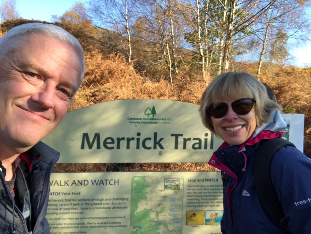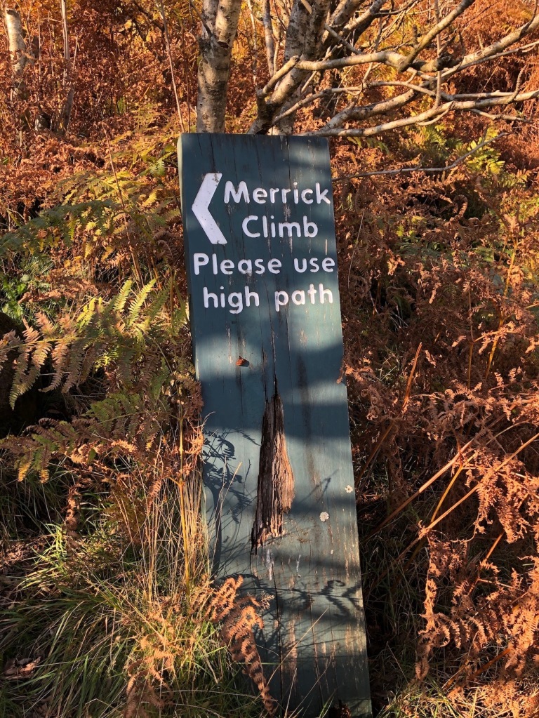
Just under a year go Elaine and I walked up The Merrick, the highest hill in Scotland’s Southern Uplands. You can read about it here in a blog I made about the joys of hillwalking. This was our first real hill walk which obviously made me an expert on the subject. Whilst the blog was really to share some nice pictures, I did conclude it by stating that whilst we were unlikely to become serious hill walkers like some of my former colleagues, we would definitely include a few hills in our walking repertoire. It only took the best part of a year for us to tackle another hill, though to be fair Covid did rather put the mockers on our best intentions for many of the previous eleven months. At the beginning of last week we noted that the weather forecast for Friday 25th was good and we had a free day so we could procrastinate no longer. We booked the ferry tickets and made our plans. The sharp-eyed amongst you will now be saying “ferry, to Ben Lomond?” and you would be quite correct in questioning me about it. The plan was, however, to climb Goat Fell on Arran, a hill that has been a frequent companion of us on our lockdown walks, albeit at a more than healthy social distance across the Firth of Clyde. We’d been meaning to climb it for years and Friday was going to be the day. Two days prior to the event the ferry was cancelled due to ‘operational reasons’, something to do with the port at Ardrossan rather than the boat itself. This led to some hasty rearranging of plans. Instead of Goat Fell we would scale the mighty Ben Lomond instead.
Whilst Goat Fell would have risen us 100 ft nearer the heavens than The Merrick had done, Ben Lomond is 430 ft higher at 3196 ft, or 974 m if you prefer the new fangled metric measurements. This pushes it into a category of mountains called ‘The Munros’. These are Scottish mountains above 3000 ft in height and would you believe there’s 282 of the buggers. Not only that there are another 227 Munro Tops, peaks above 3000 ft in height but lower than a nearby primary mountain summit. It appears that defining what is and isn’t a mountain isn’t exactly straightforward. Such matters are, however, beyond the scope of those of us who simply want a nice walk up a hill. Ben Lomond is the most southerly of the Munros, situated on the eastern shore of Loch Lomond and less than an hour away from the metropolis of Glasgow. It is also considered to be one of the most straight forward to climb, if not the easiest. These two factors make it very popular and around 30,000 people will reach the top each year. It will suffice to say that if you fancy dipping your toes in the turbulent water that is Munro Bagging, Ben Lomond is a good one to start with. It would be our first but would it be our last?
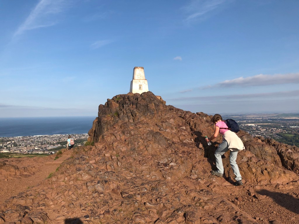
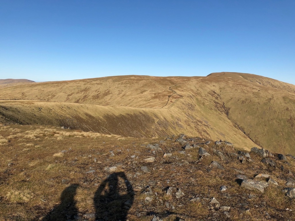
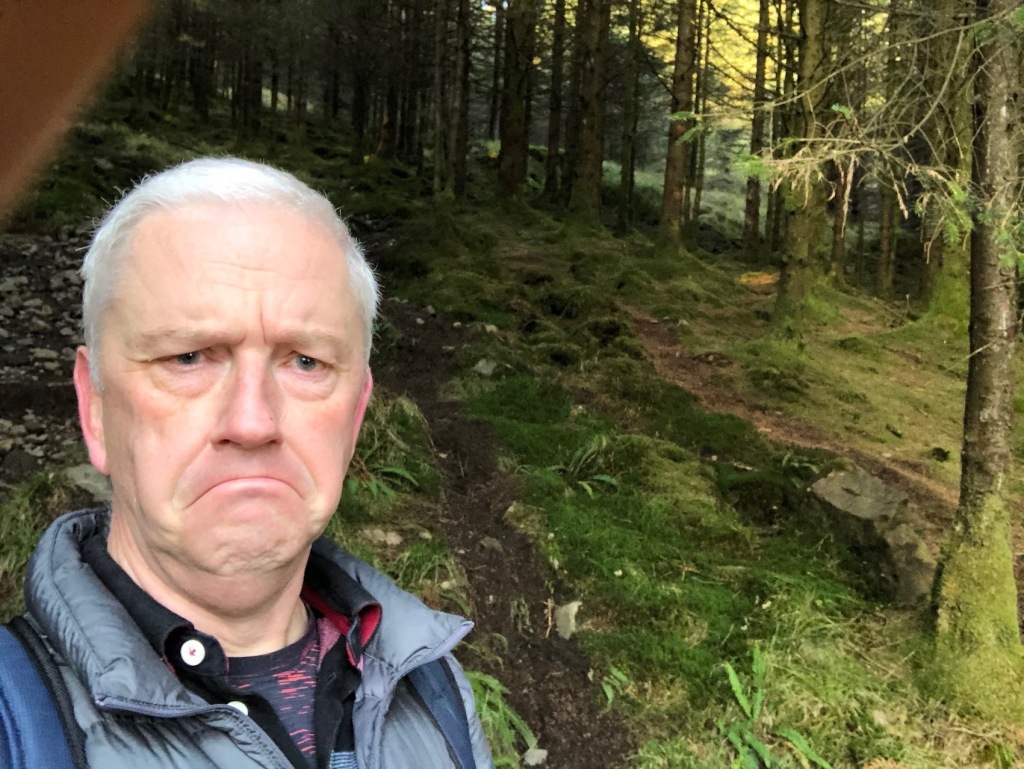
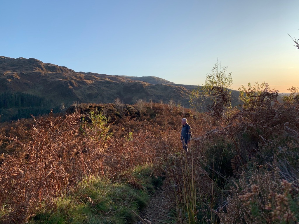
The practice run up Arthur’s Seat a few days earlier. 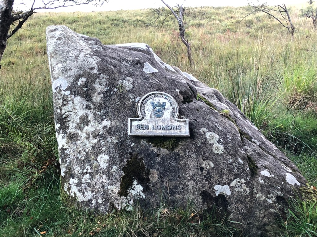
The Mighty Ben Lomond. I thought it would have been bigger than that to be honest.
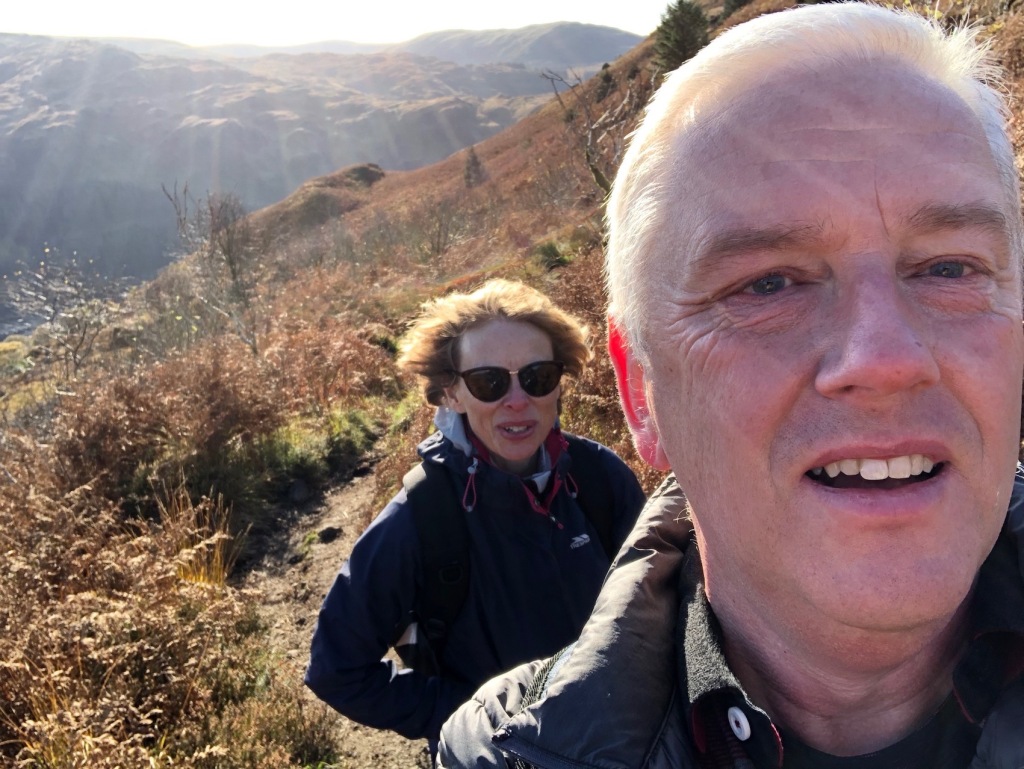
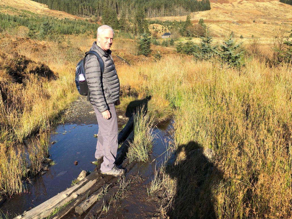
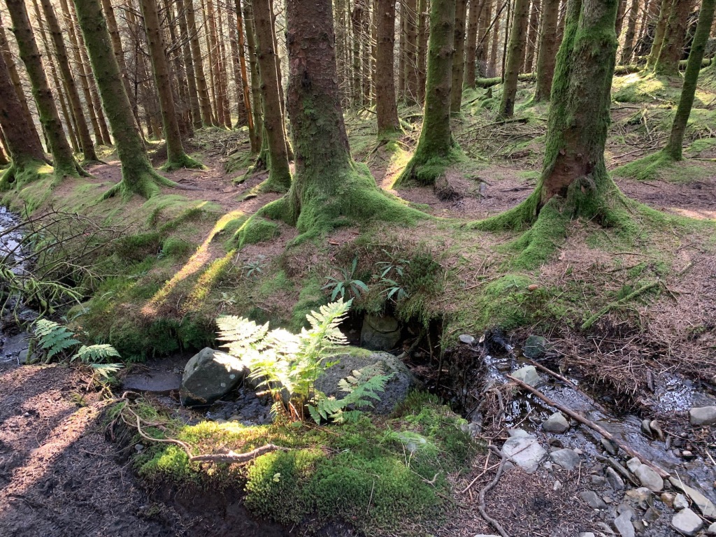
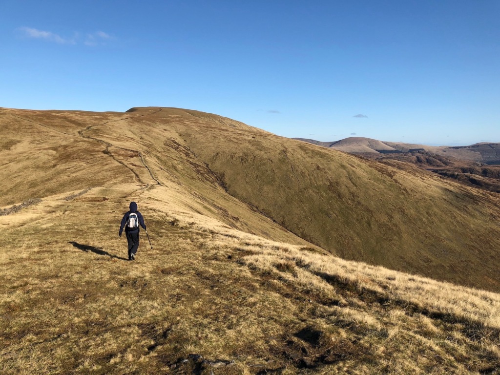
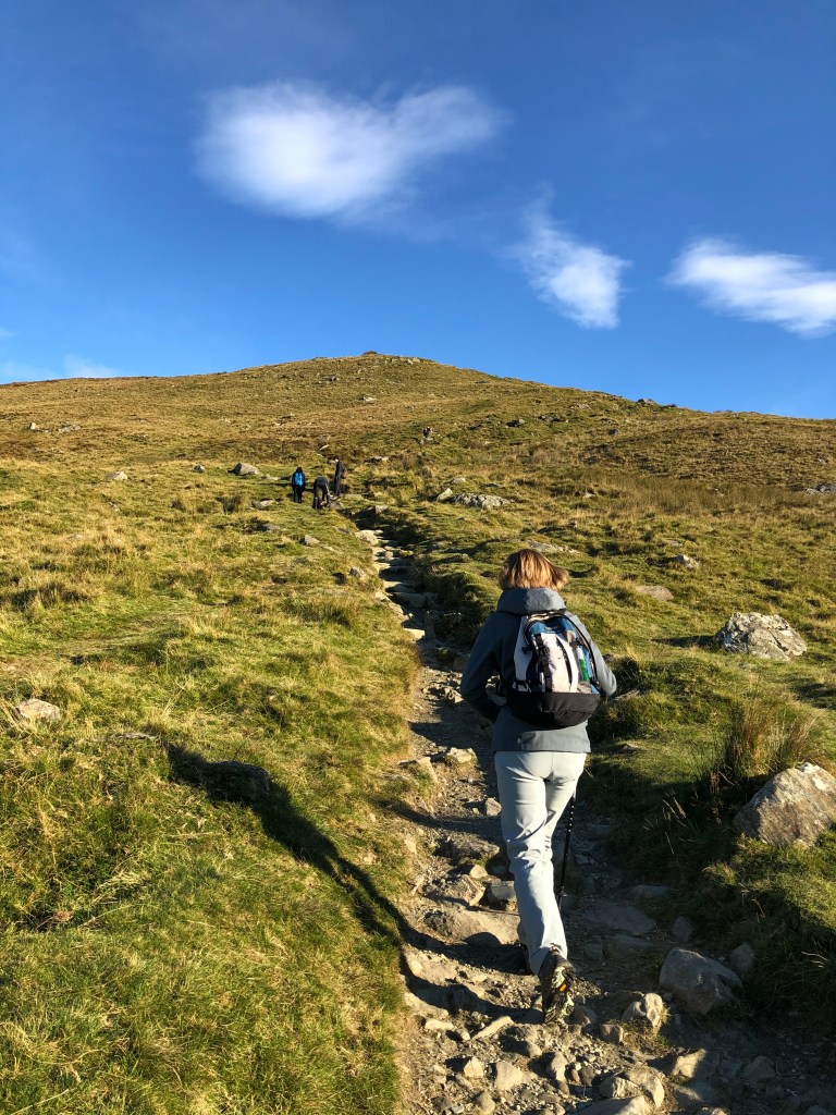
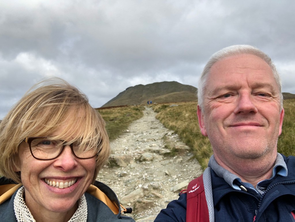
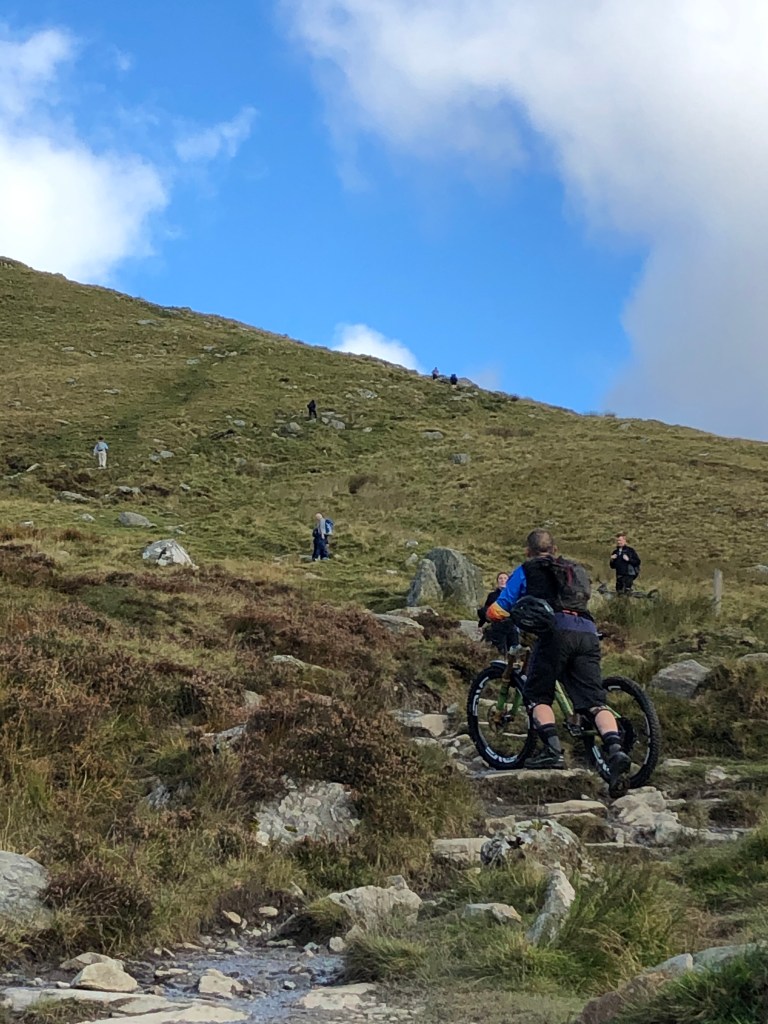
Earlier that week we had visited Edinburgh and climbed up Arthur’s Seat. Whilst this volcanic prominence towers impressively above Scotland’s capital, it is ‘only’ 823 ft high. It does involve a bit of scrambling up rocks and some steep sections so it was a good taster of what was to come. As previously mentioned, Ben Lomond is popular and the day we climbed it happened to be a local holiday in Glasgow. It made sense to set off early in an attempt to beat the hoards to the hill. As such our alarm went off at some unearthly hour and we piled into my car along with all the accoutrements required for a fair weather hill walk. Crampons and an ice axe were not required. Had they been then we would not have gone. It took us an hour and a half to get to the car park in Rowardenan at the foot of the hill. By the time we had got our shoes on, repacked our rucksacks, worked out where the path started from, waited for the portaloos to open, used said portaloos, ate half our picnic for breakfast and generally faffed about as you do, it was 08:10 when we set off. There are three paths up Ben Lomond. One is approached from the east and isn’t really a path at all. We will leave that to the more serious hill walkers. The second is the Ptarmigan Path, named after the Ptarmigan Ridge along which it runs. We were tempted to utilise this for our descent but it is known to be quite tricky so let’s not bite off more than we can chew, shall we? It was, therefore, the main tourist path for us in both directions. This path, which is under the care of the National Trust for Scotland, is clearly defined and well maintained. Not many Munros have the benefit of a path like it. Having said that, it is still a hill path so there is plenty potential for a twisted ankle or inglorious fall thanks to loose stones and gravel covered steps. It paid to be careful, at least for novices like us. There were others we passed who bounced both up and down the path like mountain goats, and three blokes were even carrying bicycles up to the summit with the intention of cycling down. Good for them, the mad fools. Initially the path led off into woodlands. It rose quite steeply at first and included a brief scramble up some rocks. There was a break in the trees where we caught our first glimpse of the summit, illuminated orange by the early morning sunlight. It seemed quite a long way away. We emerged from the forest onto moorland and saw the path weaving its way skywards. Whilst it didn’t look too intimidating, it was a while before the gradient eased. We stopped for drinks every so often which allowed us to take in the scenery. Whilst unchanging, it only seemed to get better with altitude. The central section of the path, whilst not quite a plateau, was gently inclined and so kinder on our bodies. The summit, which had been out a view for a while, finally popped over a ridge and we got a clear view of what awaited us. The ascent to the summit was quite hard work. The path zig-zags up the side and just as the top appears to be within grasp there is another rocky section to negotiate. Once through this you capture a glimpse of the trig point on the summit and it is a short walk to get there.

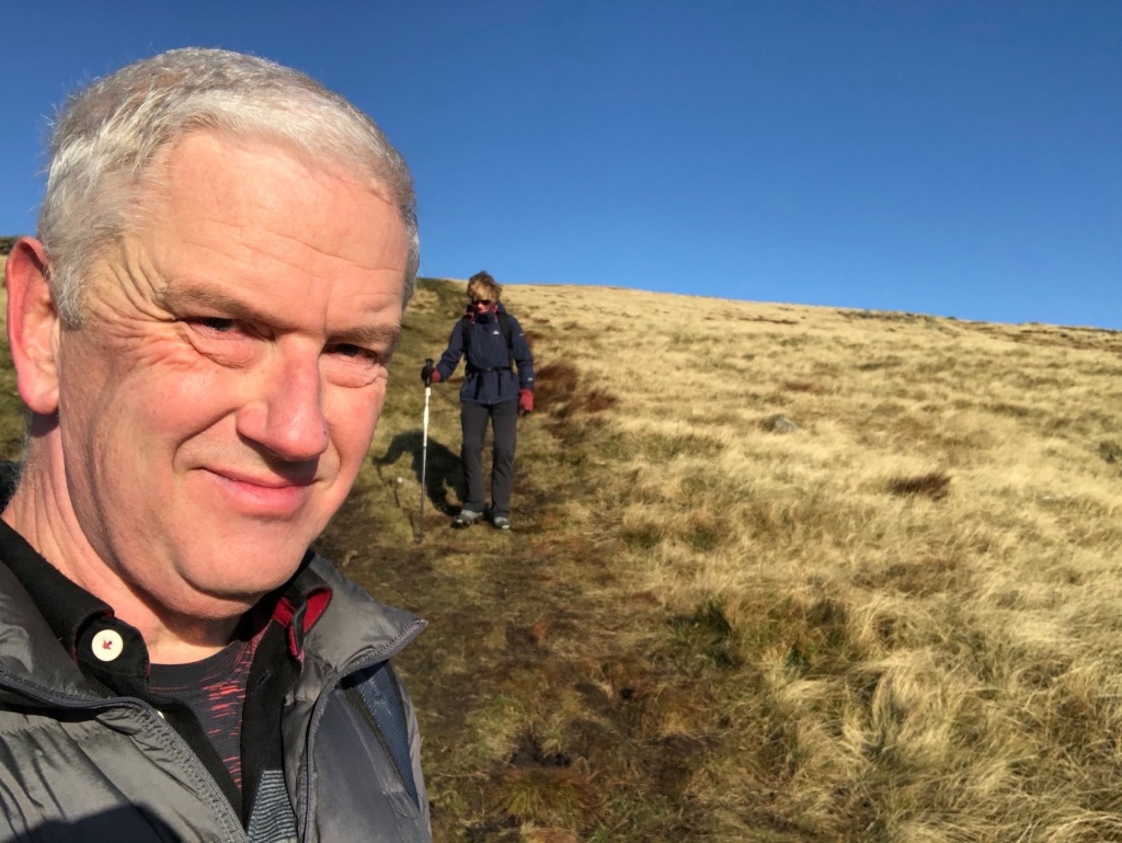
Looking relaxed at the start. 
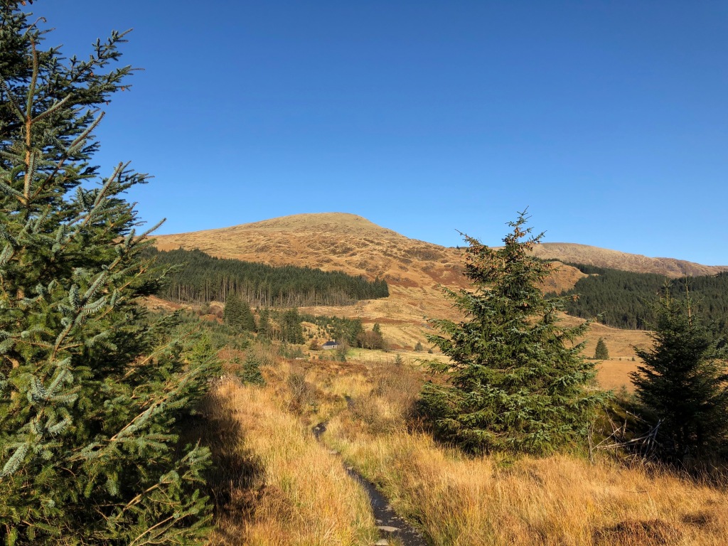
First view of the summit. 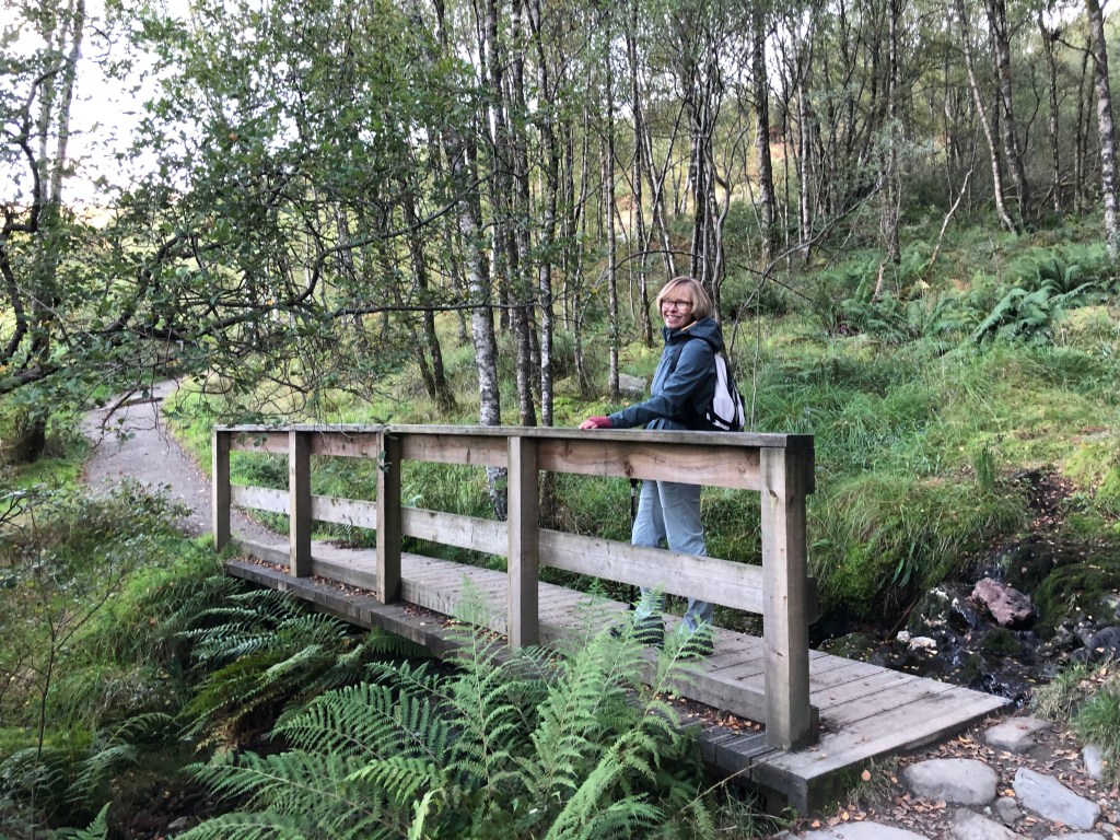
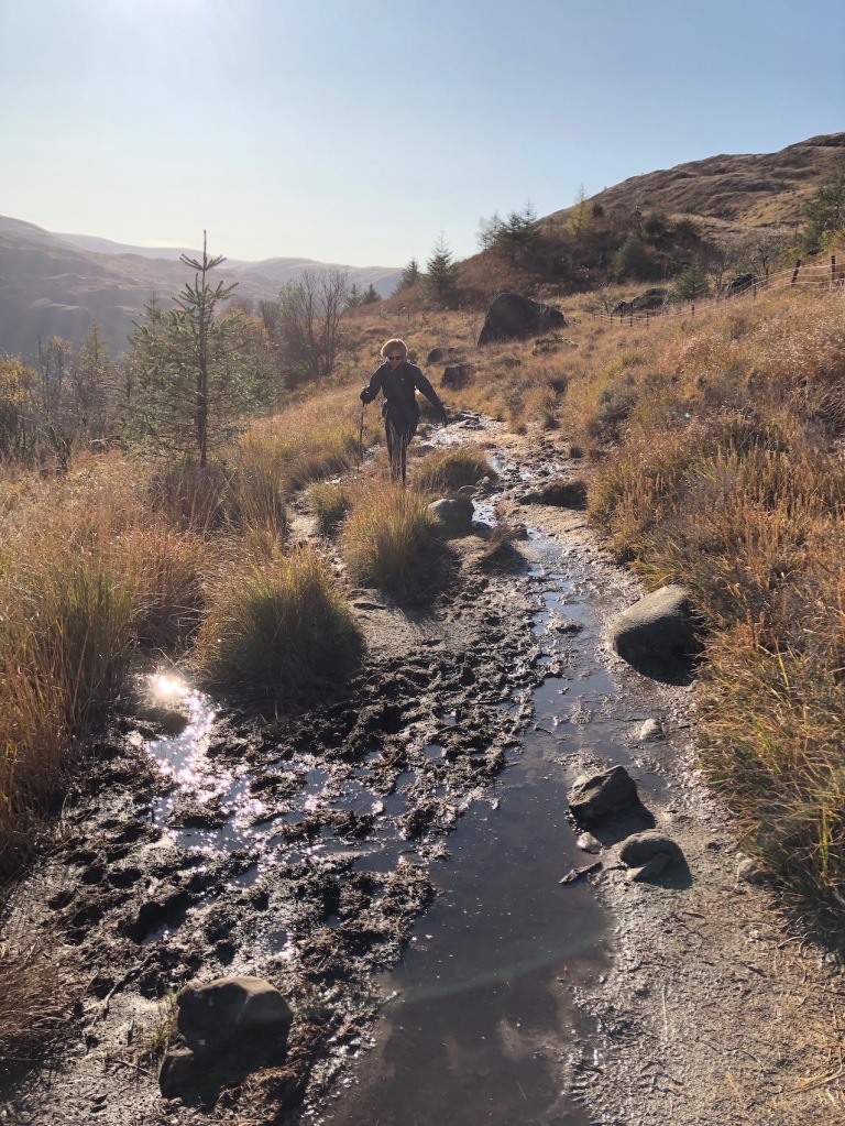
Just one troll bridge to cross. 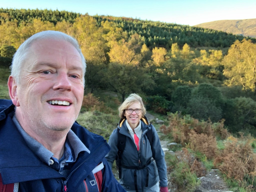
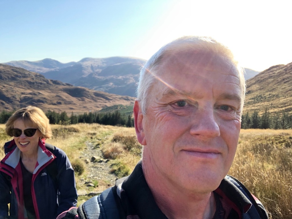
We emerge from the forest looking cheerful. 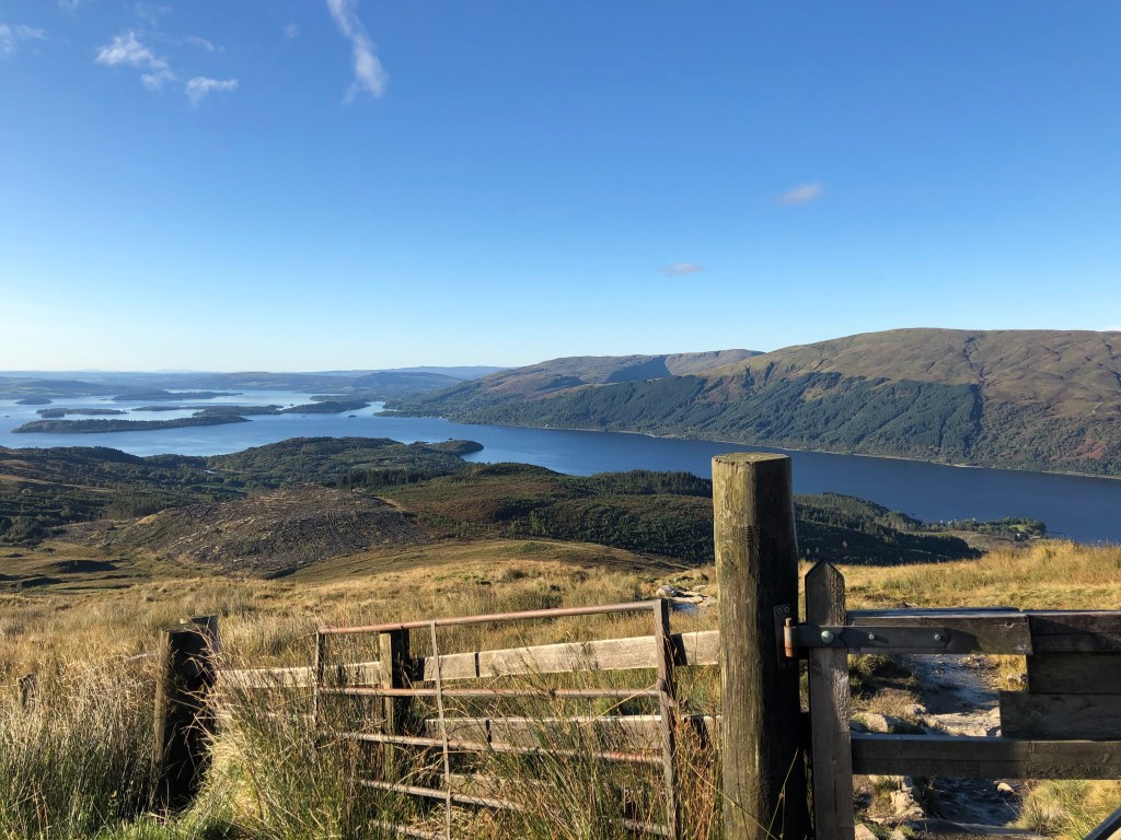
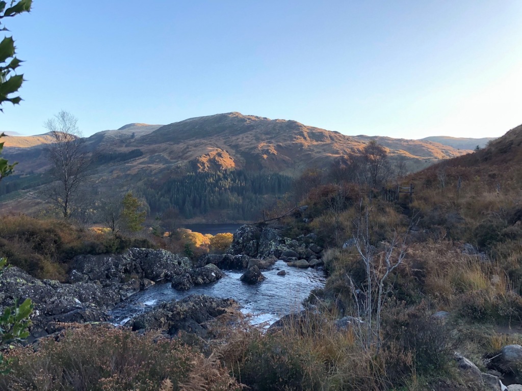
The scenery wasn’t bad.
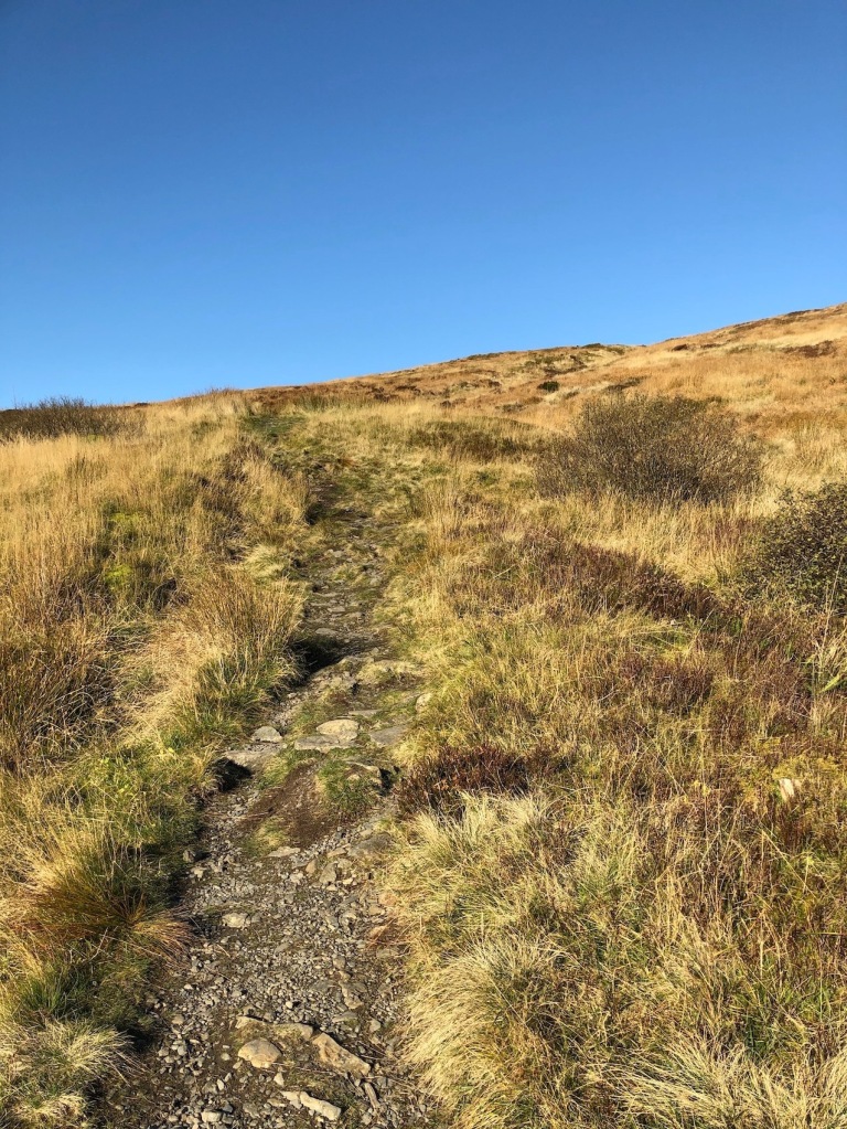
It’s a well maintained path… 
…all the way to the summit… 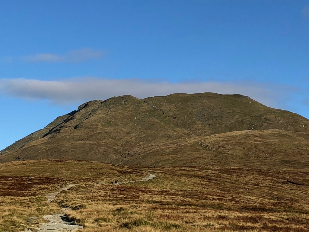
…which was getting closer… 
…though the path would only get steeper… 
…so we had regular stops for a breather and to take in the views.

The final push. 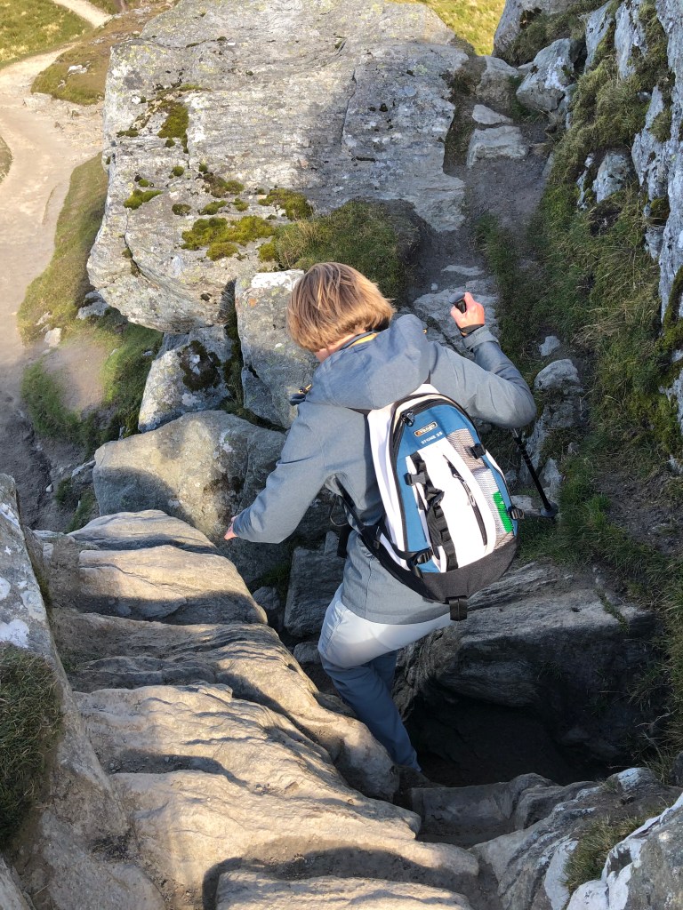
Paradoxically, getting up to the summit meant clambering down these rocks. 
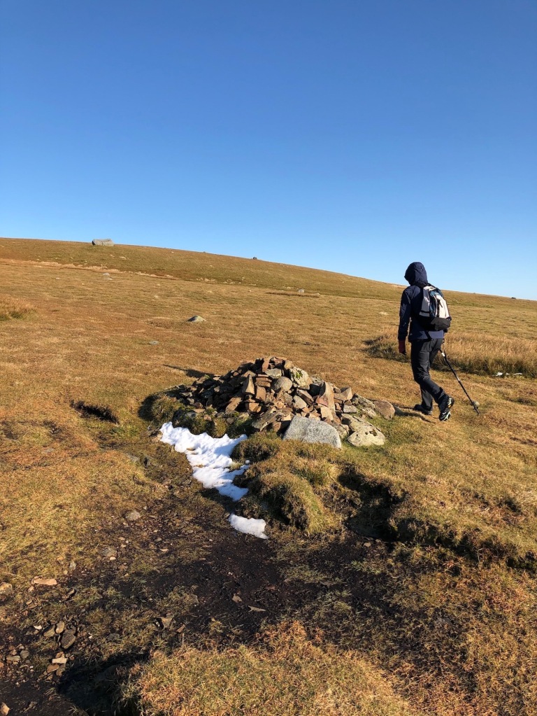
Not far to go now.

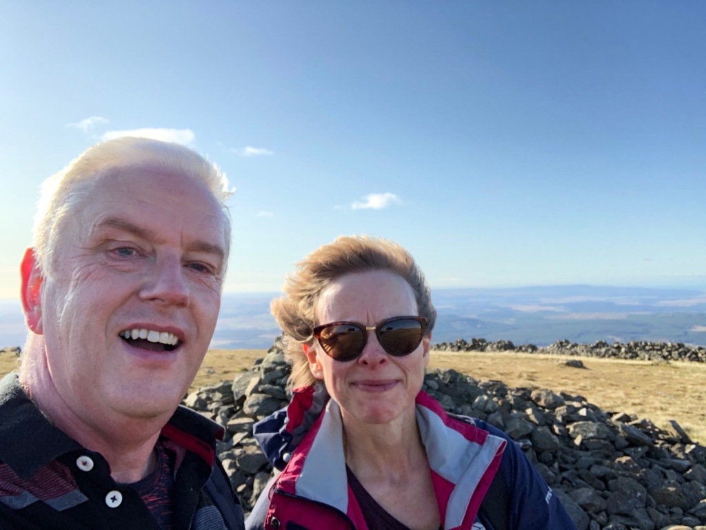
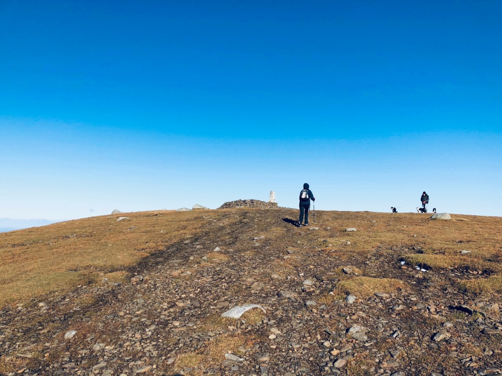
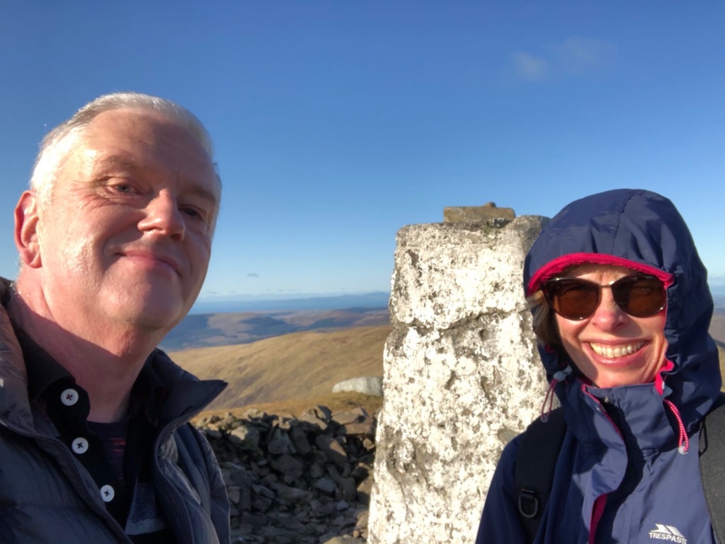
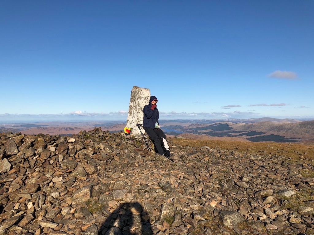
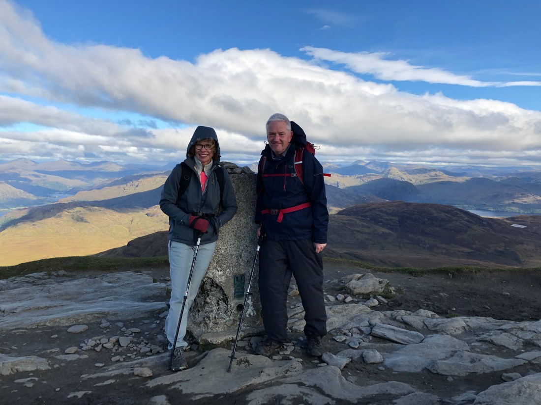
We made it to the top! 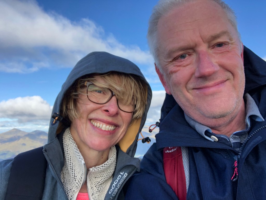
Munro Number One, tick.

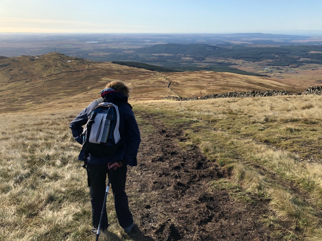
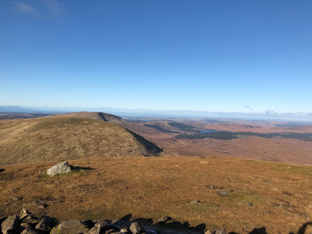
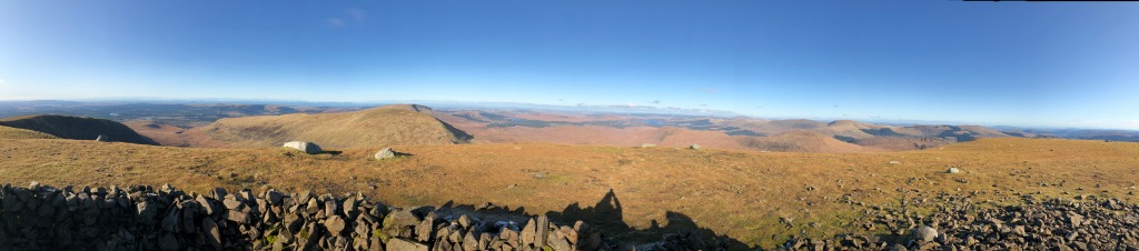
Summit views to the south… 
…west…
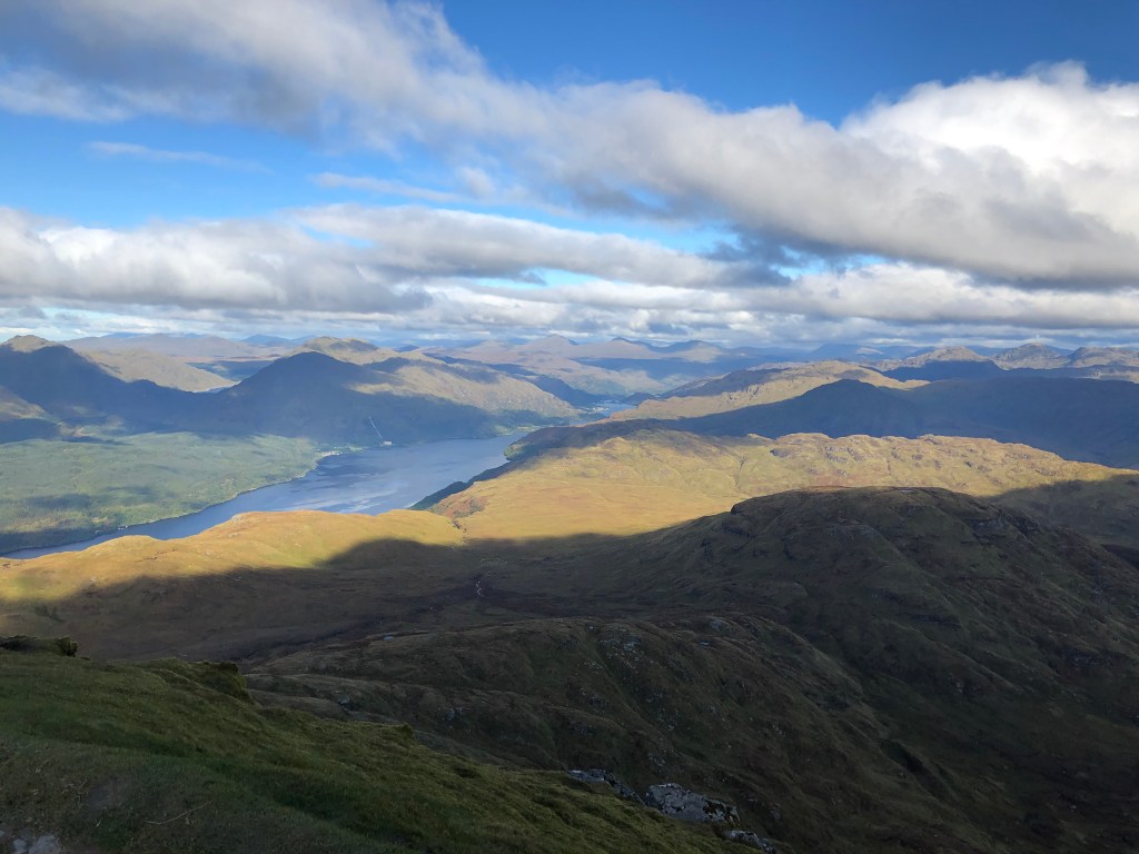
…northwest… 
…and northeast.
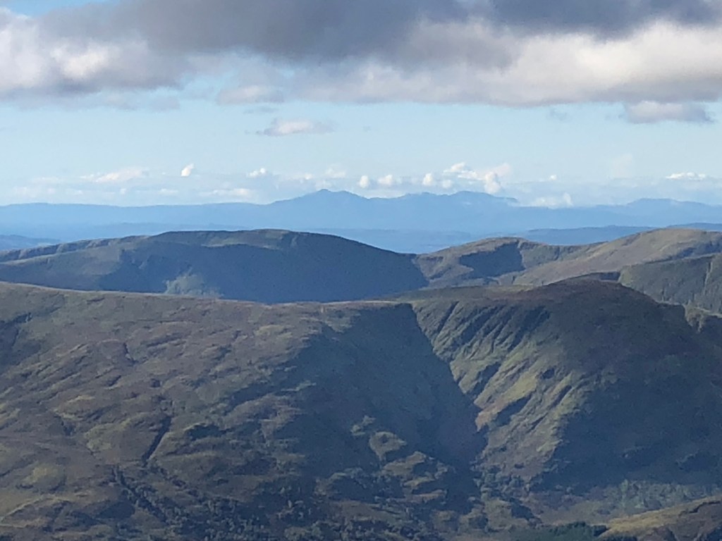
Goat Fell, 44 miles away. Future challenge. 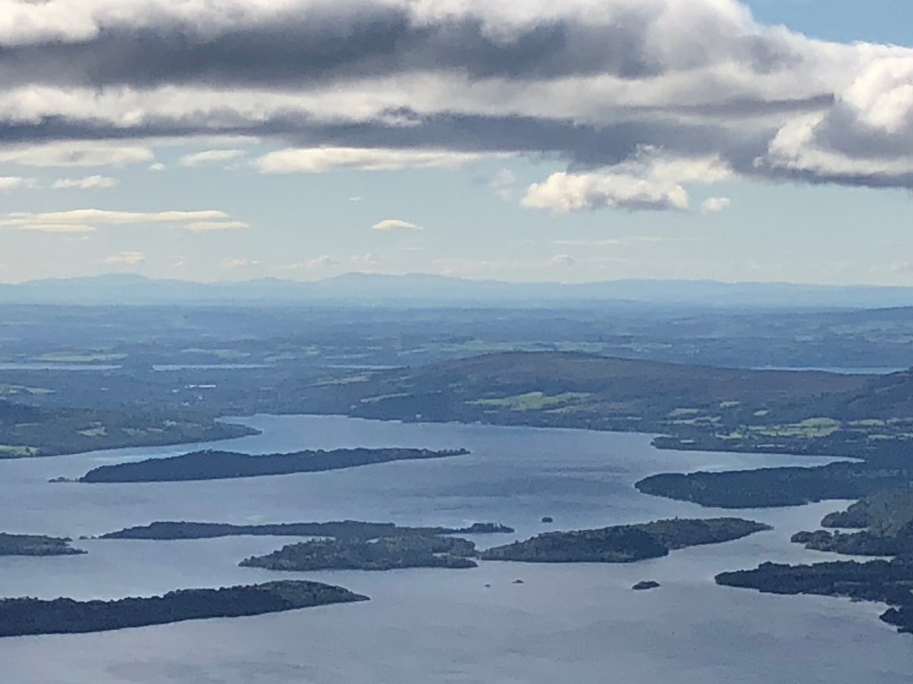
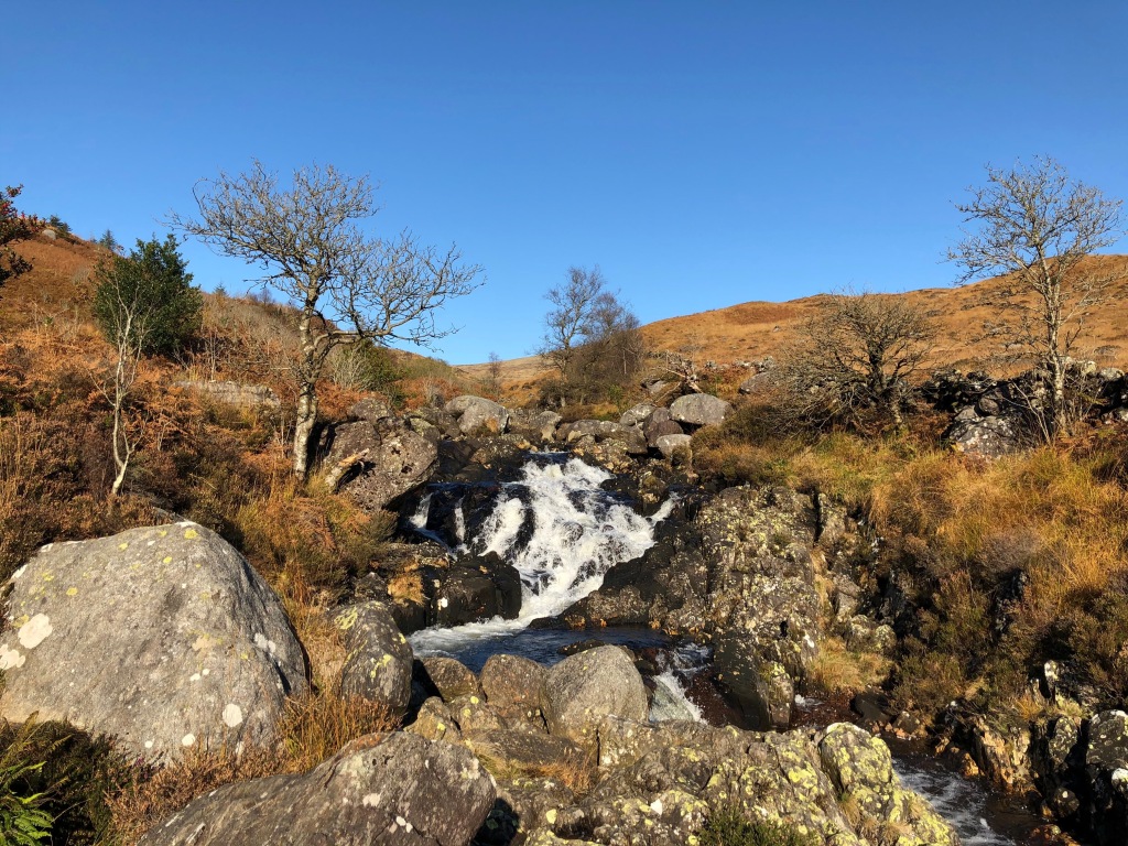
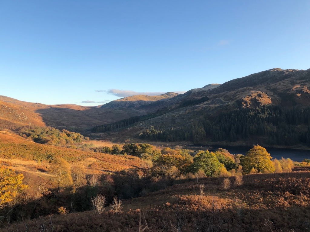
The Merrick, 72 miles away. Former challenge.
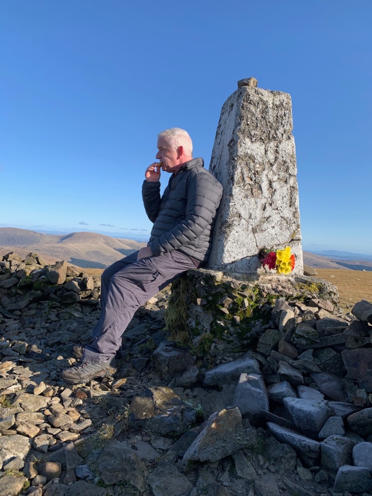
It had taken us two and a quarter hours to get to the top. It was a perfect day to do it. The sun was shining all the way up yet it was not too powerful. The path had taken us up the southern face and with the wind from the north, the hill itself sheltered us from its chilling effect. That wasn’t the case on the summit of course where there was nowhere to hide from the stiff breeze. Stiff breeze? Who am I trying to kid? It was blowing a hoolie up there which meant we couldn’t stay any longer than it took to give the trig point a hug and take some photos. That doesn’t matter though. We’d made it to the top without mishap and had our first Munro under our belts. Go us! As with any hill that is only half the story. We had to get back down again. Arguments will rage as to which is the hardest, going up or coming back down. Going up you are fighting gravity’s desire to pull you to the centre of the earth. It takes a lot of calories to overcome that. Coming down, that very same gravity should do all the work yet it is still trying to pull you towards the centre of the earth at a rate of 9.8 meters per second squared. Left unchecked you would make very painful and likely fatal descent down the hill so you still need to burn calories fighting gravity’s unerring pull. Maybe not as many calories but you will be utilising muscles that normally have quite an easy life. It took us two hours walking time to get down. In reality it took us longer than that due to a stop for a lunch with a view, other stops for drinks and snacks, waiting to allow the aforementioned hoards on their way up pass us, the occasional chats with some of the other walkers and the patting of dogs. Quite a few of the walkers took their dogs up the hill. One of those dogs was a Chihuahua for whom Ben Lomond must seem like Everest. Whilst you’ve got to keep a careful watch for your footing you do get to appreciate the scenery a bit more on the way down. It was absolutely stunning. Visibility was virtually unlimited. 44 miles away was Goat Fell, the mountain we had planned on being on. We could also clearly see The Merrick, scene of our first real hill walk eleven months ago. It was 72 miles away. The full 360 degree vista was never anything other than wonderful views. You can see why people like this sort of thing. Once we’d reached the bottom we wandered to the shore of Loch Lomond to see the Loch Lomond National Park Memorial sculpture. Since 1995 the area around Ben Lomond has been designated as a war memorial to those who had lost their lives in two world wars and the sculpture, by Doug Cocker, has stood there since 1997. We then discovered a nearby improvised trapeze hanging from a tree and felt we deserved a go. For no reason whatsoever, it seemed a fitting way to conclude our walk.
The conquered summit now behind us, we head down. 
Same path, different muscles.
We never thought to take our bikes for some reason. 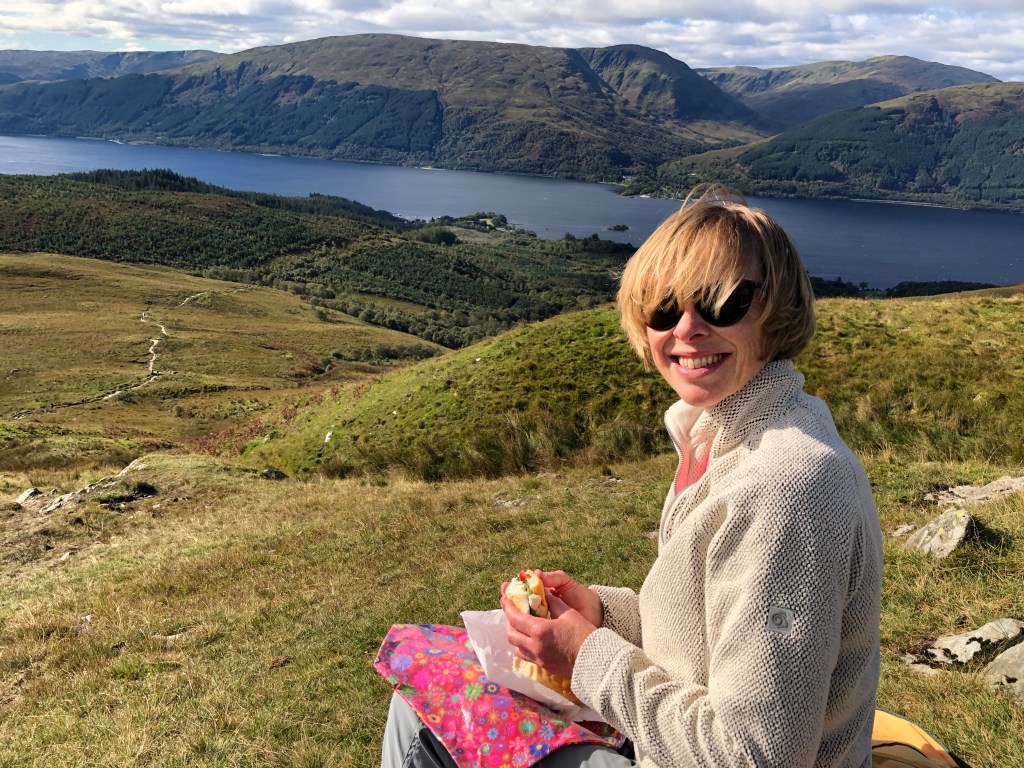
A picnic with a view. 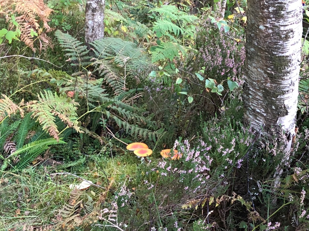
We declined the chance to enhance our picnic with these. 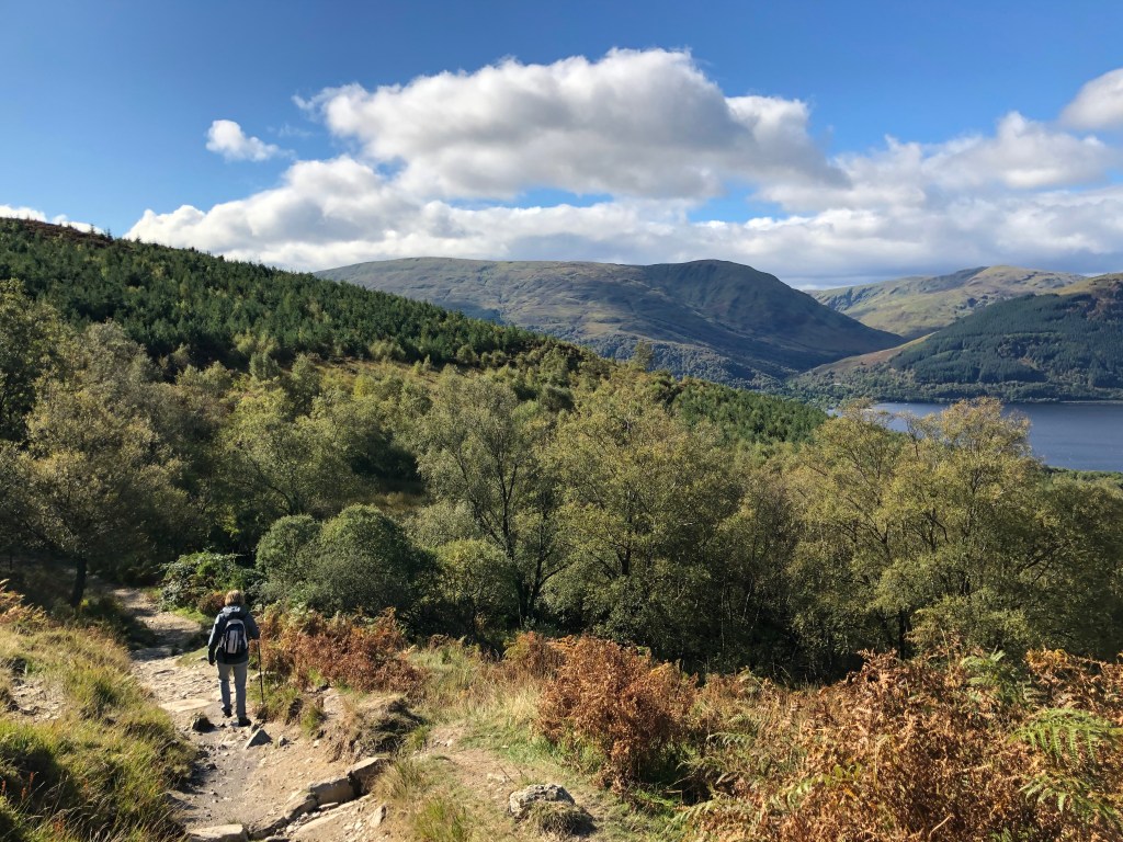
Back in to the forest. 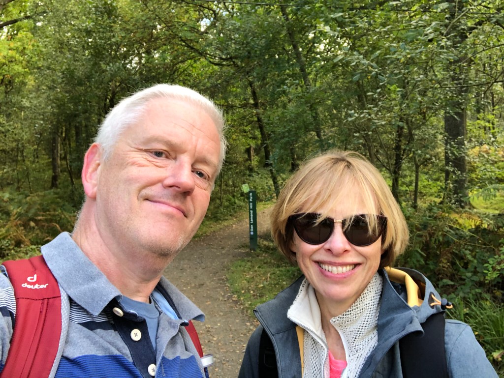
Walk complete!
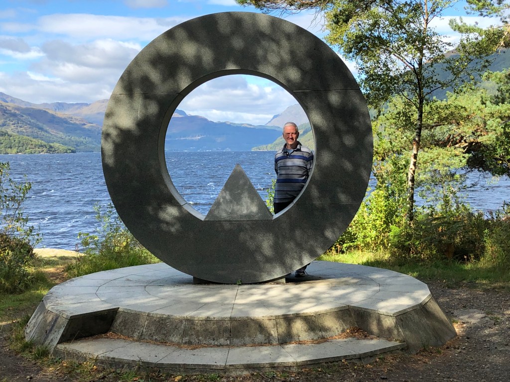
Lomond Memorial Sculpture. 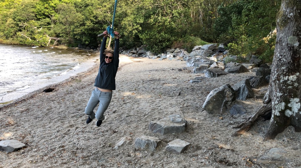
Celebrating in style.
Will it be another eleven months before we tackle our next hill? I hope not. All walks are pretty good but there was a definite sense of achievement walking to the top of a hill so large it claims to be a mountain. What about attempting more Munros? Well yes, of course. It would be easier if they were just a bit closer to home but that’s not really an excuse not to try. What about bagging all 282? Not a bloody chance! There are few where you require mountaineering experience for a start and I’m not planning on becoming a Mallory any time soon, not least because he died on a hill, albeit one a bit higher than Ben Lomomd. There are, however, several Munros that are reasonably accessible and described as not too demanding. Maybe the next time a perfect day of weather is forecast, Elaine isn’t working and we’ve got nothing else on, we will bag Munro Number Two. Expect a new blog next summer…